

While some wind impacts are likely for areas in the path, the rainfall will be the greatest risk.
Heavy rainfall will begin to threaten southern California and the Southwest Friday night and last into early next week. The peak impacts are expected Sunday and Monday, when significant flash flooding may occur. During this time, forecasters are anticipating rainfall amounts of 2 to 4 inches, with isolated amounts in excess of 8 inches stretching from southern California to southern Nevada.
That would be a stunning amount of rainfall for the month of August, the driest month of the year across this region. Los Angeles averages 0.00 inches of rain for the month, and San Diego just 0.01 inches.
Ahead of this threat, the Weather Prediction Center already placed parts of southern California and the Southwest under a slight risk for flooding rainfall Saturday into Sunday, and a moderate risk for heavy rainfall in the Sunday to Monday timeframe.
For the Baja California Peninsula, 3 to 6 inches of rain (locally up to 10 inches) is forecast to fall through Sunday night.
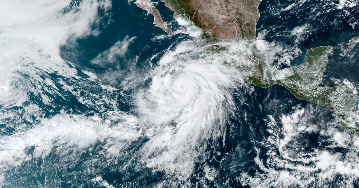
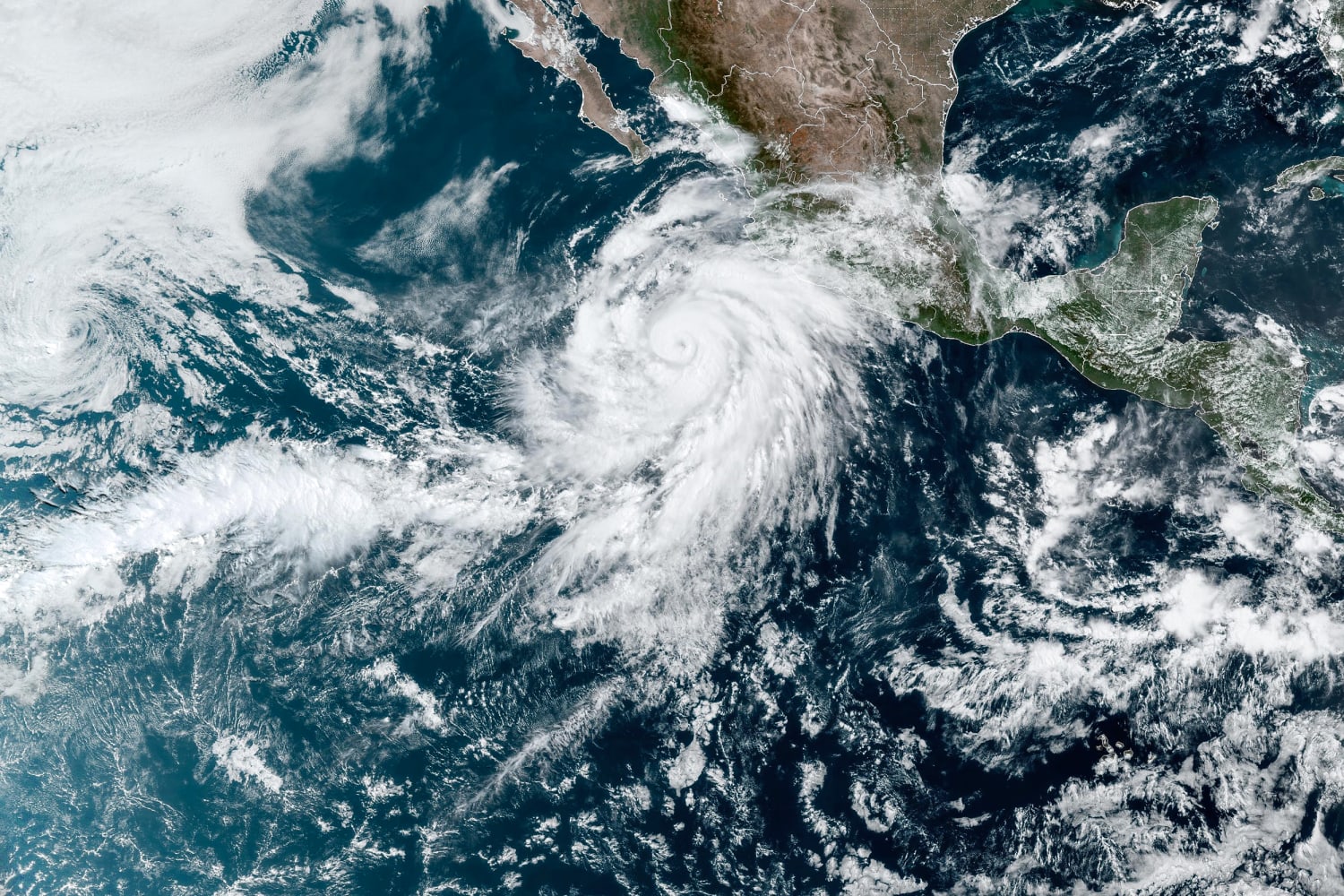
The storm is forecast to weaken due to land interaction and cooler sea surface temperatures farther north, but there is still potential for Hilary to remain a tropical storm as it approaches California.
In a summer that has already produced extreme and anomalous weather, Hurricane Hilary will add to that list. It’s unusual that the first tropical system to threaten the United States is on the West Coast and California, rather than the East Coast or Gulf of Mexico.
In fact, the only time a tropical storm has made landfall in California this century was the Long Beach in 1939, according to the National Weather Service.
On Thursday, the National Hurricane Center was also tracking two other tropical systems in the Pacific Ocean.
A weakening Tropical Storm Greg passed well south of Hawaii on Thursday morning. With the exception of some breezier trade winds, no major impacts to Hawaii were expected.
At 11:00 am eastern time, Tropical Storm Fernanda was downgraded to a post-tropical cyclone. The remnants of Fernanda are forecast to bring some deep tropical moisture to the islands which will increase humidity and rainfall chances for all islands. Locally heavy rain will be possible, especially across Maui and the Big Island, through Tuesday night.
Source: | This article originally belongs to Nbcnews.com