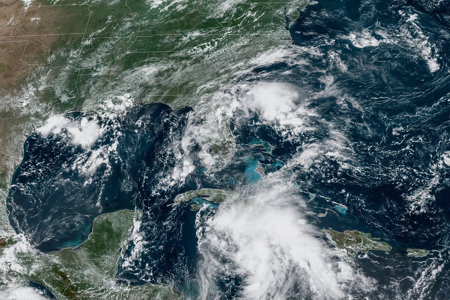
A tropical depression churning in the Caribbean Sea is forecast to intensify into a hurricane before making landfall along the Gulf Coast late Sunday or early Monday.
Tropical Depression Nine is expected to become a tropical storm by Friday morning, and a hurricane by Saturday morning once in the warm waters of the Gulf of Mexico, the National Hurricane Center said Thursday morning. The storm is forecast to continue strengthening as it crosses the Gulf of Mexico and “could be near major hurricane strength” when it reaches the northern Gulf Coast, the center said.
Thursday morning, the storm system was about 115 miles south-southwest of Negril, Jamaica, and moving northwest at 13 mph. It had maximum sustained winds of 35 mph.
Meteorologists are warning that there is a high likelihood it will rapidly intensify as it approaches land, nearing major hurricane strength — Category 3 or higher — at landfall which is forecast to occur Sunday night or early Monday.
Before reaching the Gulf Coast, Tropical Depression Nine is forecast to bring storm surges of 2 to 4 feet, and rainfall amounts up to 10 to 15 inches across portions of western Cuba, the Cayman Islands and the Yucatan Peninsula.
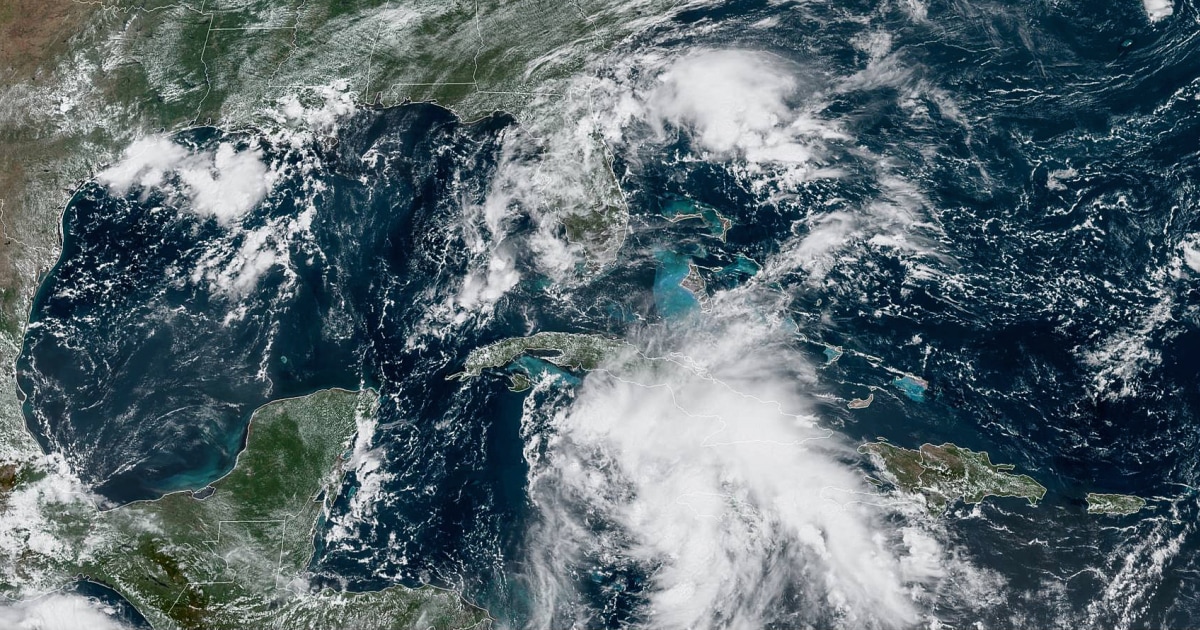
Once past the Yucatan Peninsula, tropical storm conditions could begin as early as late Saturday or early Sunday for the Gulf Coast states. Six hurricanes have made landfall in five years along the Gulf Coast.
The system’s projected path, or its “cone of uncertainty” for landfall, stretches from eastern Texas to the Alabama coastline, with Louisiana directly in the crosshairs. It was almost exactly one year ago, on Aug. 27, when Category 4 Hurricane Laura slammed the Louisiana coast with 150 mph winds. The devastating Hurricane Katrina hit the state 16 years ago Sunday.
The next available storm name is Ida. Should this system become an “I” named storm, it will join a list that includes some of the more historically damaging hurricanes. Eleven “I” names have been retired, the most of any other alphabetical letter on record. This is because “I” named storms typically happen at peak hurricane season when the atmospheric ingredients favor strong tropical cyclones and the steering patterns favor landfalls.
Elsewhere, excessively hot temperatures are continuing to plague about 70 million people across several regions of the country.
In the Northeast and New England, high temperatures in the 90s, combined with high humidity, will make it feel more like 95-105 degrees Fahrenheit both Thursday and Friday. Cities with heat advisories include New York City, Philadelphia, Boston, Hartford, Connecticut, and Syracuse, New York. The hot weather is expected to cool Saturday.
Across the middle of the country, the heat will hang on through the weekend. Temperatures in the upper 90s, combined with tropical-like humidity, will lead to temperatures that feel more like 105-115 degrees.
In the Southwest, excessive heat warnings are in effect for cities including Phoenix and Las Vegas, where temperatures could soar to 110-115 degrees and last through the weekend and into early next week.
Source: | This article originally belongs to Nbcnews.com