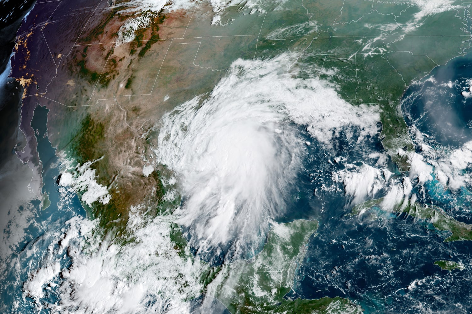
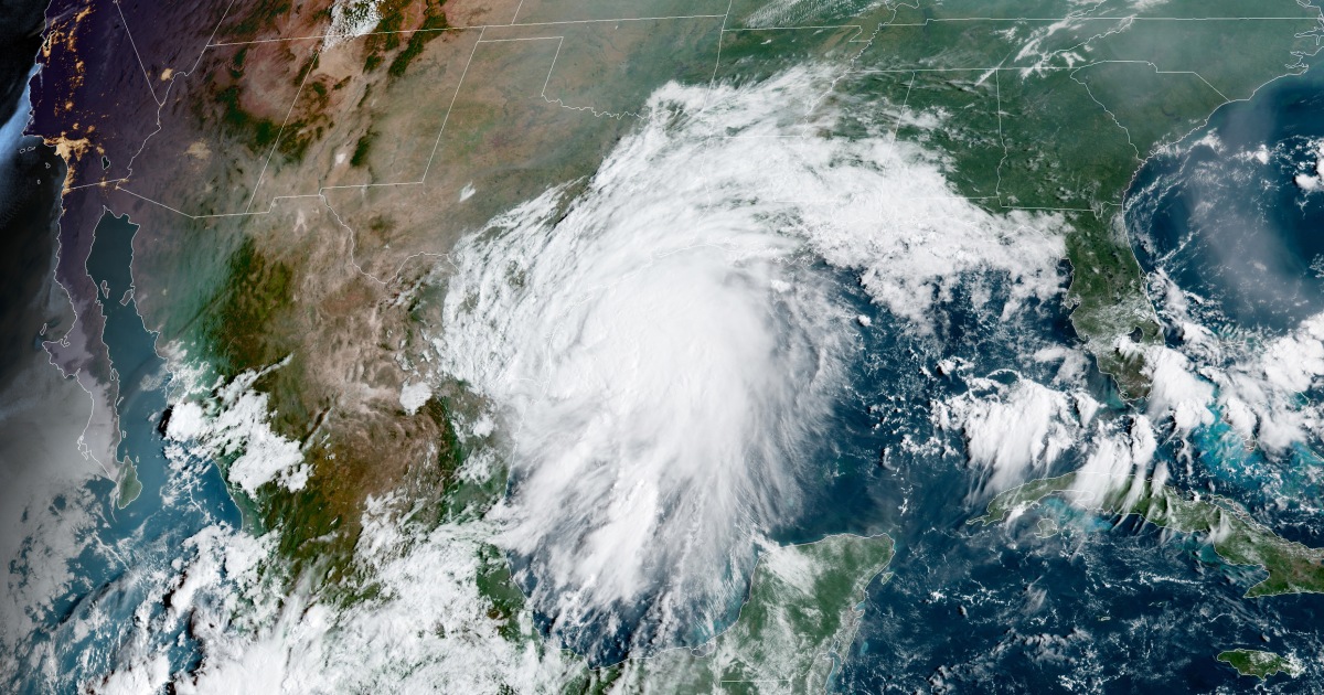
Tropical Storm Nicholas on Monday morning had maximum sustained winds of 60mph and was located over the Gulf of Mexico.
The storm was northeast of Brownsville, Texas, and moving due north at 12 mph. Hurricane Watches and Storm Surge Watches were up for portions of the southeast Texas Coast, including Galveston Bay and Corpus Christi Bay.
Heavy rain associated with the outer bands was already falling on the Texas and Louisiana coasts, including across the Houston metro area. Tropical storm-force wind gusts were already occurring along the middle Texas coast.
After competing with some dry air and strong winds overnight, Nicholas was organizing over the warm waters of the Gulf. The reorganization process was leading to an erratic motion in the center, leading to some uncertainty in the ultimate track and intensity prior to landfall.
Landfall was expected Monday evening or very early Tuesday between Corpus Christi and Galveston as a high-end tropical storm or a low-end Category 1 hurricane.
Regardless of strength at landfall, however, the expected impacts won’t change — the greatest of all being significant flash flooding.
Rainfall rates could be 3 to 4 inches per hour under the heaviest rain bands. Infrastructure has a tough time dealing with such intense rainfall rates, likely leading to significant flash flooding especially in urban areas.
To make matters worse, the heaviest rainfall for Houston and surrounding areas looks to happen after nightfall, compounding the danger. Meteorologists are urging not to drive over water-covered roadways, as the majority of flood-related deaths happen in vehicles.
The flood threat then shifts into Louisiana Tuesday and Wednesday, including for areas still cleaning up after Hurricane Ida made landfall on Aug. 29.
Storm total rainfall through midweek could be extreme in some cases. For the middle and upper Texas coast, 8 to 16 inches, with isolated maximum amounts of 20 inches is possible. Across the rest of coastal Texas into southwest Louisiana, totals could be 5 to 10 inches with locally higher amounts.
Life-threatening storm surge will also be possible for parts of the immediate Texas coast, with a maximum of 3-5 feet possible.
When Nicholas was named on Sunday, it became the 14th named storm of the 2021 season, matching the climatological average number of named storms per season.
Only four other years in the satellite era (back to 1966) have had 14 storms by Sept. 12 and those were 2005, 2011, 2012 and 2020.
Nicholas will be the eighth storm to make landfall on the United States so far this year.
Source: | This article originally belongs to Nbcnews.com