
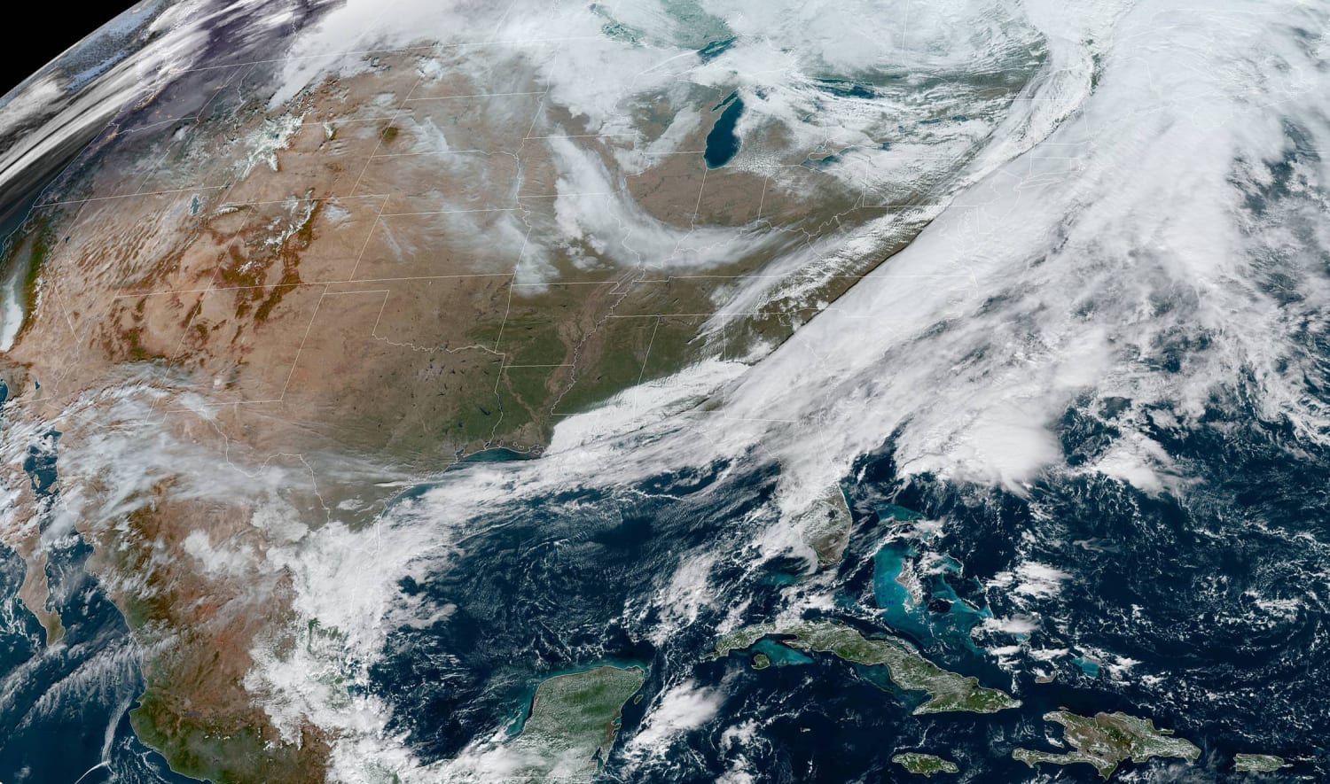
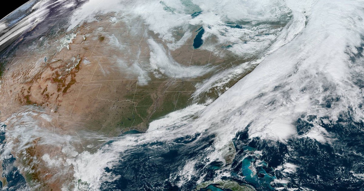
On Monday morning, a cold front sliced through the Mid-Atlantic and Northeast and bringing with it light showers and some gusty winds to portions of the I-95 corridor.
It was fast-moving, with all rain projected to be off the Atlantic coast by early afternoon.
Behind the exiting storm system, lake effect snow was still cranking and expected to produce snow through Tuesday. By the time the snow ends, more than 6 inches was likely in some spots, with higher amounts downwind of Lakes Erie and Ontario.
The big story with this exiting storm system will be the sharply colder temperatures and gusty winds behind the cold front. The Midwest and Great Lakes were already bitterly cold Monday morning with temperatures in the teens and wind chills in the single digits for cities like Minneapolis and Chicago.
And that cold air was spilling south and East.
For the East Coast, the warmest time of the day on Monday was the morning, with temperatures expected to drop throughout the afternoon. Winds were also forecast to strengthen, leading to biting wind chills which will last through the day Tuesday.
Chicago, for example, was looking at a high in the mid-30s on Monday. Overnight lows were expected to dip into the 20s, and that combined with wind gusts of up to 20 to 30 mph would lead to Tuesday morning wind chills in the single digits.
New York was forecast to follow a similar temperature journey. The high Monday was forecast to be in the mid-50s.
But what a difference a day makes.
By Tuesday morning, New York was forecast to experience temperatures right around freezing, with wind chills in the 20s.
The good news is after Tuesday a warming trend is forecast through Thanksgiving Day. In fact, high temperatures were forecast to soar back into the 50s on Thursday from Cleveland and Buffalo to New York City and Boston. Washington is forecast to make a run for 60 degrees.
And in even better weather news the forecast for Wednesday, historically the busiest travel day of the week, is forecast to be fairly quiet across the entire lower-48.
With the exception of some light showers for parts of the Central Plains and light snow for the Northern Plains and Rockies, the rest of the country looks dry.
Denver may experience some light air delays due to snow showers in the area.
By Thursday, the next storm system is forecast to come into the Pacific Northwest bringing the chance for rain in coastal areas and lower elevations and snow to parts of the Cascades.
Showers and storms are also forecast to impact portions of the Southern Plains, Mississippi Valley and Gulf Coast, including cities like Houston and Memphis.
Those traveling along I-10, I-35 or I-40 in these regions could experience some slick roadways.
Finally, for those tuning in to the Macy’s Thanksgiving Day Parade, the forecast is about as good as it gets. Dry skies, temperatures in the 40s and winds less than 10 mph will mean the balloons should be able to fly high.
Source: | This article originally belongs to Nbcnews.com


