

A white Christmas arrived after all for parts of the western United States.
Snowfall pounded mountains across California late Saturday after giving the Seattle area a rare show on Saturday afternoon.
There were multiple reports of snow falling around Seattle, with the National Weather Service saying “snowy, difficult travel” should be expected on local roads.
A “seemingly endless” pattern of low pressure fronts from the Pacific were striking the west coast with cold storms expected through midweek, federal forecasters said.
Snow was also reported in the Portland, Oregon, area, where “cold arctic air” was moving in, forecasters said.
Recent forecasts show at least an inch of snow is likely to fall Sunday in the Seattle and Portland regions, which don’t typically see snow.
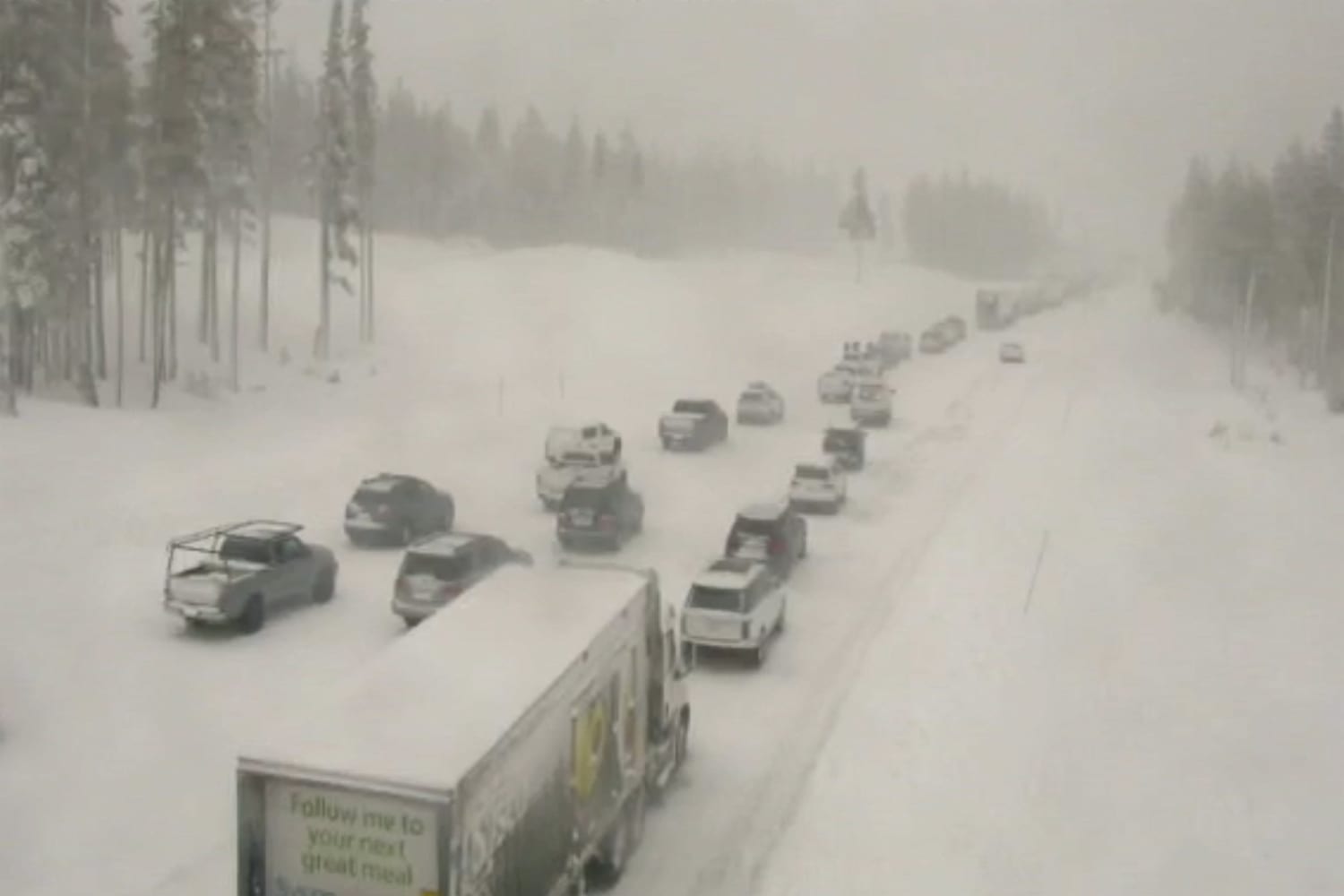
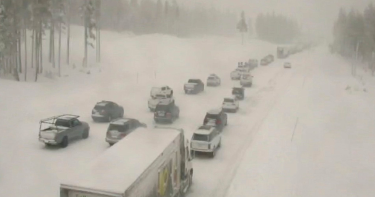
There was “heavy, intense snowfall” Saturday in the Tahoe Basin and in Reno, Nevada, the local weather service office said. For the second day in a row Interstate 80 was closed near Donner Summit, the California Highway Patrol said. Low visibility was blamed.
Bands of rain and thunderstorms moved through the Bay Area on Saturday. A flood advisory for San Francisco was canceled in the late afternoon.
Snow covered roughly a fourth of the nation Saturday, and eventually made a promised return to the foothills of California, where plummeting temperatures and a new band of moisture produced palm tree-adjacent snow by late night.
A 70-mile stretch of interstate over the top of the Sierra Nevada was closed Saturday when a storm that dropped nearly 2 feet of snow on some ski resorts around Lake Tahoe overnight got a second wind.
Even San Diego, where snow is rare, a glimpse of powder was possible, but it might come too late to count as a white Christmas.
“We could get a light dusting in San Diego County mountains” overnight, said weather service meteorologist Casey Oswant.
Other areas of California, however, saw a wet and rainy Christmas as storms continued to drench the state, causing flash flooding and evacuations in some areas over the holiday period.
Meanwhile, temperatures continued to soar in parts of the the Southern Plains. Federal forecasters blamed an “anomalously warm low-level thermal ridge.”
“Record-breaking high temperatures are likely from the Southern Plains to the Mid-Atlantic” on Sunday, the National Weather Service said.
“Much of the South remains remarkably warm as highs soar into the 80s once again in Texas and Oklahoma,” the service said. “The warmest average temperatures for Sunday will stretch from northern Texas into southern Kansas where temperatures will be 25-35 degrees above average.”
Associated Press and Zeerak Khurram contributed.
Source: | This article originally belongs to Nbcnews.com


