The P-3 Orion, filled with scientists and their instruments, flew laps through the storm at varying altitudes Saturday evening, while researchers measured aspects like temperature, humidity and microphysics of snowflakes.
“We really get to know the nature of the clouds,” McMurdie said.
Meanwhile, a pilot in a pressure suit flew a second plane, NASA’s ER-2, at about 65,000 feet. The ER-2 is designed to fly at extreme altitudes and is equipped with remote sensing equipment to scan storms.
“It’s kind of like having a satellite you can control,” McMurdie said.
Pilots carefully coordinated the two planes’ routes, so they measured the same portions of the storm.
Mobile radar trucks sent beams of energy to measure the storm on the ground. Meanwhile, three teams released weather balloons about every two hours to profile temperature, winds, pressure and humidity at different layers of the atmosphere.
The elements proved challenging. Winds on Saturday were stiff enough to pop a few of the balloons, McMurdie said. A storm surge sent floodwaters racing about halfway up the wheels of one radar truck.
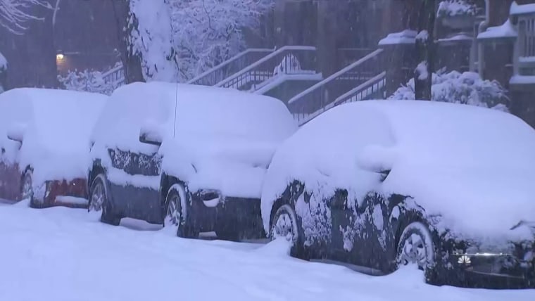
Feb. 3, 202201:50
Zipping in and out of a snowstorm is a careful dance for pilots.
“The funniest thing. You spend your entire career not flying through this stuff. You’re always taught to go around it,” Bernth said. “An aircraft can only take so much.”
By day’s end, the P-3 flew for more than nine hours with a flight crew of six. Pilots rotated every few hours to stay fresh.
Bernth was at the controls for two bouts of severe turbulence, he said.
“It’s a workout,” said Bernth, who was deployed in support of combat operations seven times as a Marine pilot. “For about half an hour on Saturday night, things slow down for you and you take over.”
IMPACTS is a five-year project, with three years of flight planned. In 2020, the team got about 10 flights done, McMurdie said. Covid-19 halted last year’s flight plans. So far, the team has flown about five times this year and plans to do another round again next year.
Right now, satellites struggle to predict snowfall. Radar can only explain so much.
Forecast models are based on assumptions, said Will McCarty, a program scientist with NASA’s weather and atmospheric dynamics program. Taking direct measurements will test those assumptions and could enhance future forecasts.
“The science really does translate to a better understanding of our planet, and that translates to effectively having better forecasts,” McCarty said.
Source: | This article originally belongs to Nbcnews.com