

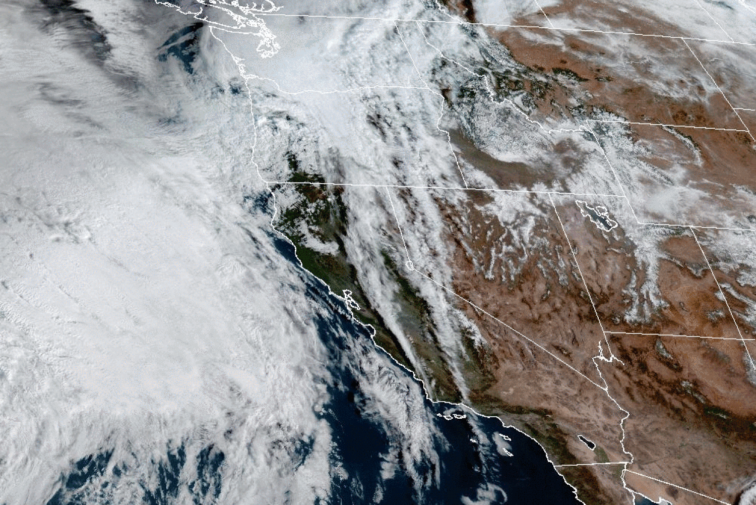
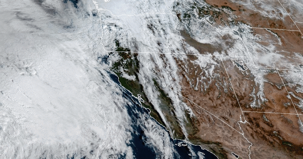
San Francisco warned of high winds that could fell trees, heavy rain and potentially flooded streets as storms hit California starting Wednesday morning, while residents in the mountains could see 20 inches of snow and “impossible” travel conditions, forecasters said.
The San Francisco Bay Area could see up to 4 inches of rain in the weather set to hit the area starting Wednesday morning and expected to ramp up Thursday, the National Weather Service said.
A flood watch was issued starting Thursday for San Diego, which is still recovering from floods that struck the Southern California city and region on Jan. 22 after the wettest January day on record.
“The main storm is expected on Thursday. That looks to be the greatest impact on Thursday,” Alex Tardy, senior meteorologist for the weather service in San Diego, said in a video briefing Monday.
Rainfall of 1 1/2 to 2 inches was forecast for coastal regions and valleys, and 3 inches could fall on coastal mountain slopes, forecasters there said.
In the Los Angeles area, 1 to 3 inches of rain could fall starting Wednesday night and Thursday morning, and rates of a half-inch an hour are possible, the weather service for the Los Angeles area said in a forecast discussion.
The rains in Southern California could be helpful in the end. While San Diego, struck in recent storms, was back to normal precipitation amounts for this time of the year, much of the region is not.
“A lot of the southwest, Southern California, is still much below normal,” Tardy said.
There are two storms on the way, Tardy said.
The first one this week will be faster and is the main precipitation event, he said, while the one Monday and Tuesday will be slower moving. Both are so-called atmospheric rivers, which forecasters describe as long and narrow regions in the atmosphere that transport water vapor.
In the Sierra Nevada, there could be 10 to 20 inches of snow, and up to 30 inches near the Sierra crest, the weather service for that region, located in Reno, Nevada, said in a statement.
A winter storm warning is in effect for the greater Lake Tahoe region from 10 a.m. Wednesday to 10 a.m. Friday.
“Travel could be very difficult to impossible with snowfall rates of 2 or more inches per hour at times,” the warning from the weather service reads.
California Gov. Gavin Newsom on Tuesday evening activated a state operations center to respond to the storms and coordinate efforts, his office said.
There could be wind gusts in the mountains of 60—70 mph, the governor’s office said, and there will be “above normal precipitation likely statewide” for the next few weeks, especially in Southern California.
A series of atmospheric rivers brought rain and flooding to parts of California last year.
During storms in March, two tornadoes struck in Southern California, including one in the Los Angeles area city of Montebello. That was the strongest tornado to strike in the Los Angeles metropolitan region since 1983.
Source: | This article originally belongs to Nbcnews.com


