The forecast is still on track for a significant winter storm to hit the Mid-Atlantic, Northeast and New England on Wednesday and Thursday.
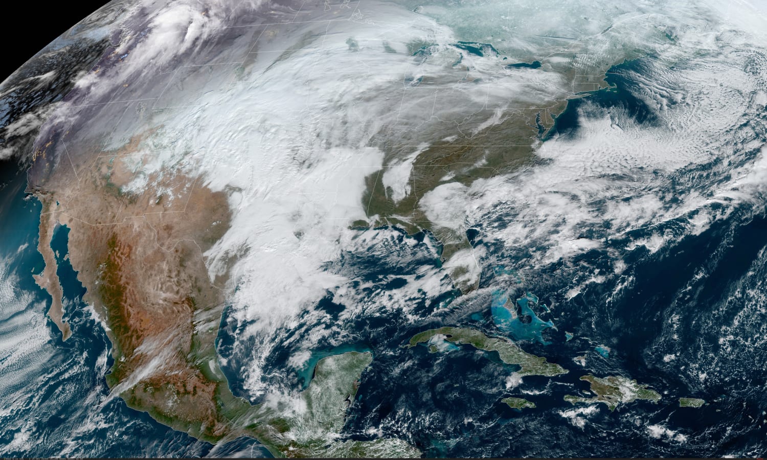
As of Tuesday morning, 63 million people were under winter alerts from the Central Plains to extreme northeast Georgia and stretching up through Massachusetts.
During the day on Tuesday, the storm system will still be tucked back across the Plains with 4 to 6 inches of snow expected for portions of Oklahoma and isolated thunderstorms across the Southern Plains.
On Wednesday, the storm will reach the East Coast.
During the morning, a wintry mix will break out from western North Carolina to northern Virginia, while snow fills in from Maryland through southern New York. As the day progresses, the storm will march north on the I-95 corridor bringing with it a mess of rain or snow and even the potential for some sleet and freezing rain.
On the southern side of the storm system, heavy rain and strong thunderstorms could affect the Southeast to coastal Carolinas.

Dec. 14, 202001:09
By Wednesday night, a wintry mix will be possible for cities like Washington and Philadelphia while New York City and Boston will likely stay predominantly all snow. Heavy snowfall rates of 1-3 inches per hour are possible, including for the New York City area, and gusty winds could cause whiteout conditions and the risk of power outages.
By Thursday, the snow is expected to continue through the morning hours for the Northeast and New England and will end for all locations except eastern Maine by sunset.
A widespread 3-6 inches of snow will be possible from central Virginia up through Maine. A swath of 6-12 inches or more, and higher amounts locally, is currently forecast from Maryland up through southern Massachusetts with the highest snow totals possible along and just west of the I-95 corridor.
Some isolated locations at higher elevations could potentially see up to 2 feet of snow from eastern West Virginia, western Maryland into east-central Pennsylvania and northwest New Jersey.
For the areas across North Carolina and Virginia that could get the wintry mix of sleet and freezing rain, up to 0.25 inches of ice accumulation is possible, which could cause power outages.
Blizzard conditions may also be possible for coastal areas, especially eastern Long Island and Cape Cod, where wind gusts could exceed 40-50 mph.
Source: | This article originally belongs to Nbcnews.com