

Over the weekend, while millions were watching the big game, meteorologists were watching a trend in the forecast models signaling increasing odds for an impactful winter storm for the Northeast, including snow-starved New York City.
A colder and more southern shift to the storm’s track is what captured forecasters’ attentions, increasing the likelihood for plowable snow from Philadelphia to Providence. The southern shift in the models painted the picture of a narrow axis of heavier snow inching closer to the I-95 corridor.
Of even greater concern, the timing of the heaviest snowfall was forecast to align with Tuesday morning’s rush hour. The potential for 2 inch per hour snowfall rates combined with the prime commute time could cause major travel delays on the road and at the major airports from Philadelphia to Newark and New York to Boston.
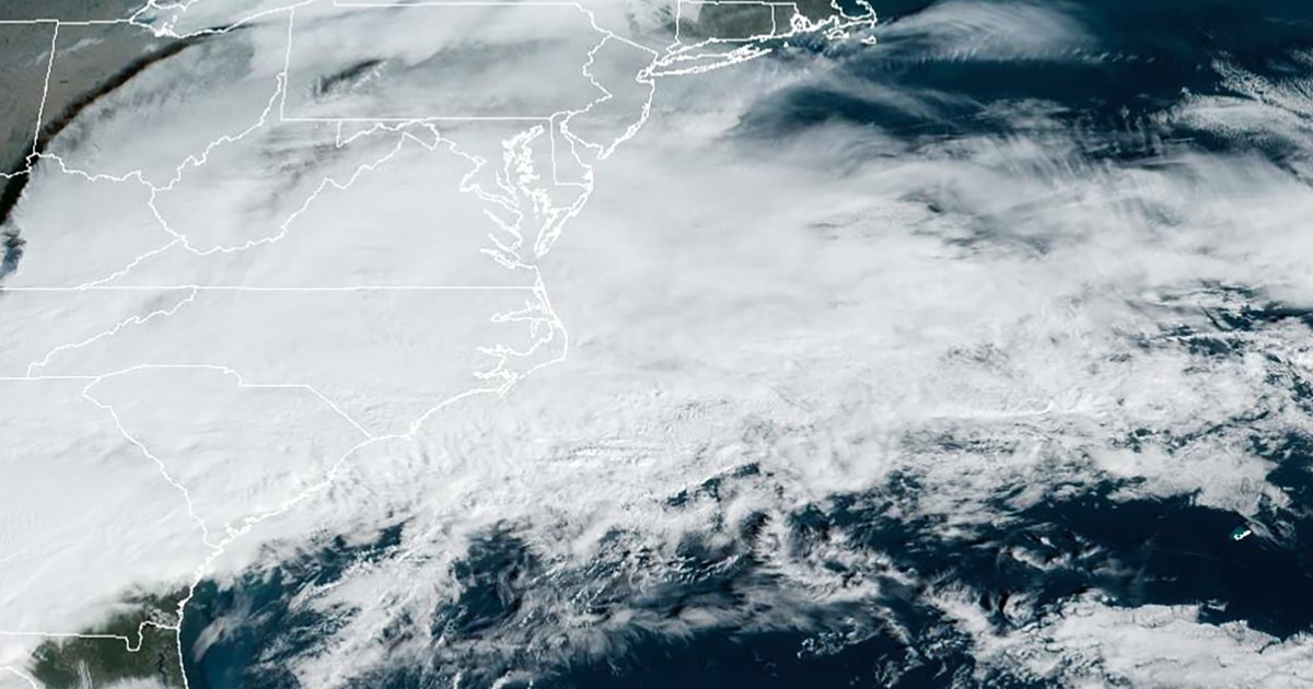
By Monday morning, 49 million people were already under winter alerts stretching from parts of the central Plains and Midwest into the Northeast and New England.
Snow is expected to fall across parts of eastern Oklahoma, southern Missouri, parts of Arkansas, western Tennessee and southern Kentucky Monday. At the same time, a cold rain will move up through the Mid-Atlantic and into the Northeast by the evening hours.
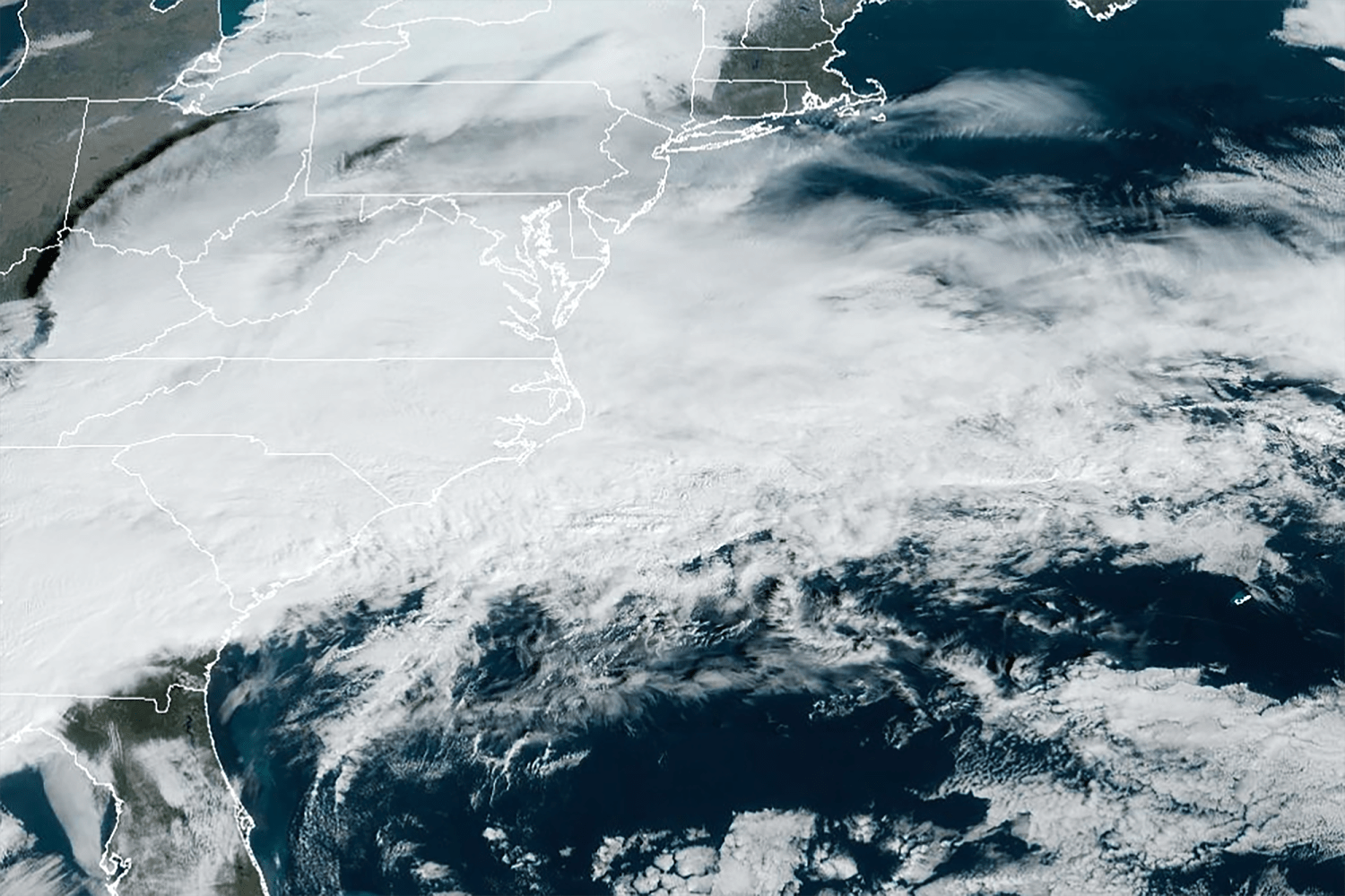
Monday night into Tuesday morning is when rain will change to snow across the Northeast, including along the I-95 corridor from Philadelphia to Hartford, Connecticut.
On Tuesday, the switch from rain to snow is expected to occur shortly before sunrise, with snow falling at rates of 1 to 2 inches per hour during the morning commute along the I-95 corridor from Philadelphia to Hartford and Providence, Rhode Island.
Even heavier snow with potential rates of 2 to 3 inches per hour will be possible across eastern Pennsylvania, northern New Jersey, the Hudson Valley and up through northern Connecticut and Rhode Island.
Due to the strong dynamics associated with this system, some thundersnow will be possible around sunrise coinciding with the areas of highest snowfall rates. New York City is in the zone for potential thundersnow.
Strong winds gusting in the 25 to 35 mph will lead to low visibility and exacerbate heavy travel delays. Coastal flooding will also be an issue with this storm from the Delaware to southern New England coast.
This will be a fast-moving storm, so all snow will be off the Atlantic coast by 5 p.m. tomorrow.
A widespread 3 to 6 inches of snow will be possible across most of the Northeast and New England. A ribbon of 6 to 12 inches of snow is looking likely in a narrow band somewhere from northern New Jersey to eastern Massachusetts. Forecasters stressed that while it is difficult to predict the precise location where the band of heaviest snow will set up, what snow does fall will likely be very heavy and wet in nature. The heavy snow could increase the likelihood for power outages, and be dangerous for shoveling.
City timing and expected snowfall totals
Philadelphia can expect the rain to begin after 8 p.m. on Monday night, then change to snow around 7 a.m. Tuesday morning. By the time the snow is expected to end around the lunch hour, snowfall totals could be in the 1 to 2 inch range.
New York City’s rain will begin a bit later than Philadelphia, around 11 p.m. Monday night, with the changeover to snow occurring around 7 a.m. Tuesday. When the snow ends around mid-afternoon, 5 to 8 inches could blanket Central Park. New York City is in the zone of greatest uncertainty depending on where the heaviest snowfall band sets up, so the range of snowfall possibilities may be adjusted as the forecast comes into better focus on Monday.
If New York City picks up 6 inches or more from this storm, it will be the city’s largest snowstorm in 2 years — since January 2022.
New York Mayor Eric Adams on Monday morning announced that public schools would move to remote learning Tuesday.
Boston will be the last of the big cities along the I-95 corridor to see precipitation. It will begin as a rain and snow mix around 4 a.m. Tuesday morning then becomes all snow by 11 a.m. Eight to 12 inches of snow will be possible by the time the snow wraps up around dinnertime on Tuesday.
If the colder and snowier southerly trend continues, the snowfall scenarios may go up throughout the day Monday to reflect the change in storm track and intensity.
While all eyes are on the northern side of the storm system, the southern side of the storm will also bring a nasty combination of severe thunderstorms and flooding rainfall to the Southeast on Monday.
Already by Monday morning, severe thunderstorms were charging across parts of the South and Gulf Coast states, with a Tornado Watch that was in effect until 10 a.m. for parts of Louisiana, Mississippi, Alabama and the Florida Panhandle.
Through Monday, 7 million people are at risk for severe storms capable of hail, high winds and an isolated tornado.
In addition to the severe storms, flooding will also be a concern. About 17 million people are under flood alerts across the Southeast.
Source: | This article originally belongs to Nbcnews.com