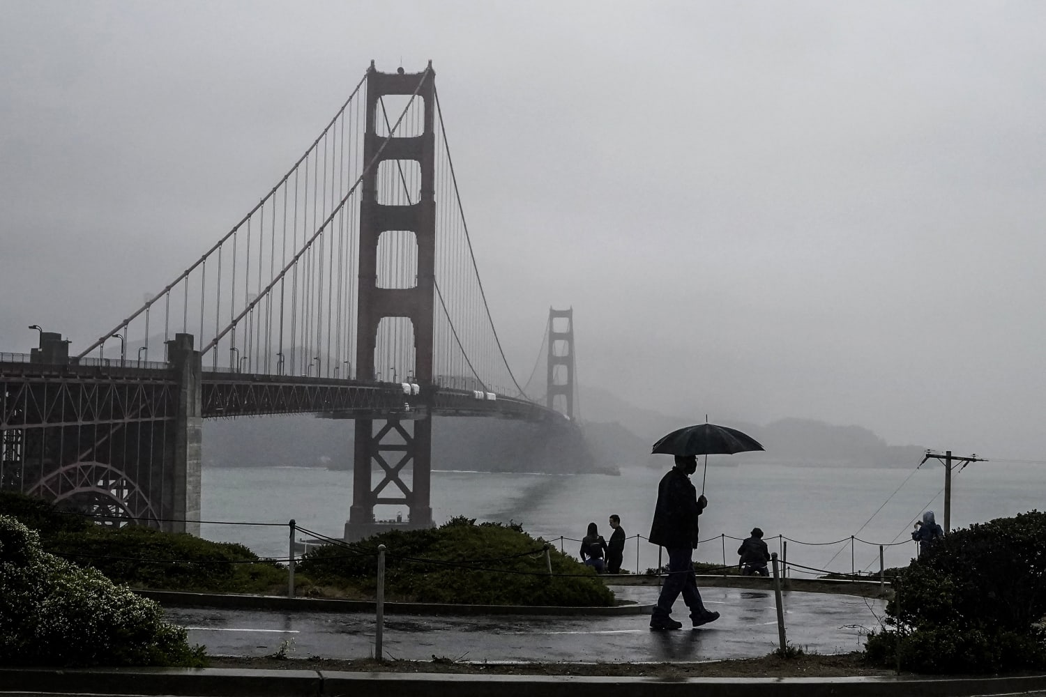
Wet and severe winter-like weather is forecast for much of the United States as a Pacific storm aims for California, and a thunderous, unsettled system moves into the Midwest and mid-Atlantic.
The severe weather, including flooding and high winds, could impact 108 million people late Saturday into Tuesday.
A Pacific storm aiming first for the northern half of California and then moving south is picking up moisture from the tropical Pacific, making it a potent atmospheric river of precipitation also known as a “pineapple express.”
Seven million people were under flash flood alerts in California and Nevada, where as much as 10 inches of rain was possible, according to NBC News forecasters.
Rates of rainfall from the storm could exceed one half inch per hour, leading to life-threatening flash floods and mudslides in areas where burn scars were created by recent wildfires, they said.
The National Weather Service in Oxnard tweeted that Sunday night into Monday, Southern California residents should expect “gusty winds, rain, and possible minor flooding and debris flows in recent burn areas.”
California’s Sierra Nevada mountains could experience winds as fast as 100 mph, which could make travel nearly impossible, take down trees and cause power outages, NBC News’ forecasters say.
As much as 3 feet of snow could fall. Waves as high as 30 feet were forecasted for parts of the Northern California coast.
The Sunday storm comes after Gov. Gavin Newsom expanded the state’s drought emergency to cover all California counties. In a statement Tuesday, the governor noted that the western U.S. faced a potential third year in a row of drought.
Still, the impending storm could challenge federal forecasters’ warnings that a La Niña weather pattern for California will bring more bad news — a relatively warm, dry winter.
Earth scientists have noted in recent years that climate change can have a strange impact on La Niña and El Niño weather phenomena, although it’s not yet clear if that’s the case this weekend.
Water experts say the Pacific storm won’t single-handedly end the drought, but it could help replenish the state’s ailing water supply.
Meanwhile a system over the central Plains was moving toward the lower Great Lakes and then the mid-Atlantic, federal forecasters said.
As it marched eastward it was expected to soak up relatively warm moisture and create thunderstorms, “frequent lightning,” high winds, hail and “a minimal threat for tornadoes,” the National Weather Service said in a forecast discussion Saturday.
The National Weather Service in Chicago called for “blustery, cool, [and] very wet conditions” Sunday. Some river flooding could take place, it said.
In Indianapolis, Indiana, a flood watch was in effect for Sunday, and as much as 3 inches of rain was expected.
The front was expected to strike Baltimore, Washington, D.C. and the mid-Atlantic by Tuesday morning, forecasters said. Rain and freezing conditions were possible, they said. As many as 53 million people on the east coast could be impacted by the unsettled system.
Christine Rapp contributed.
Source: | This article originally belongs to Nbcnews.com


