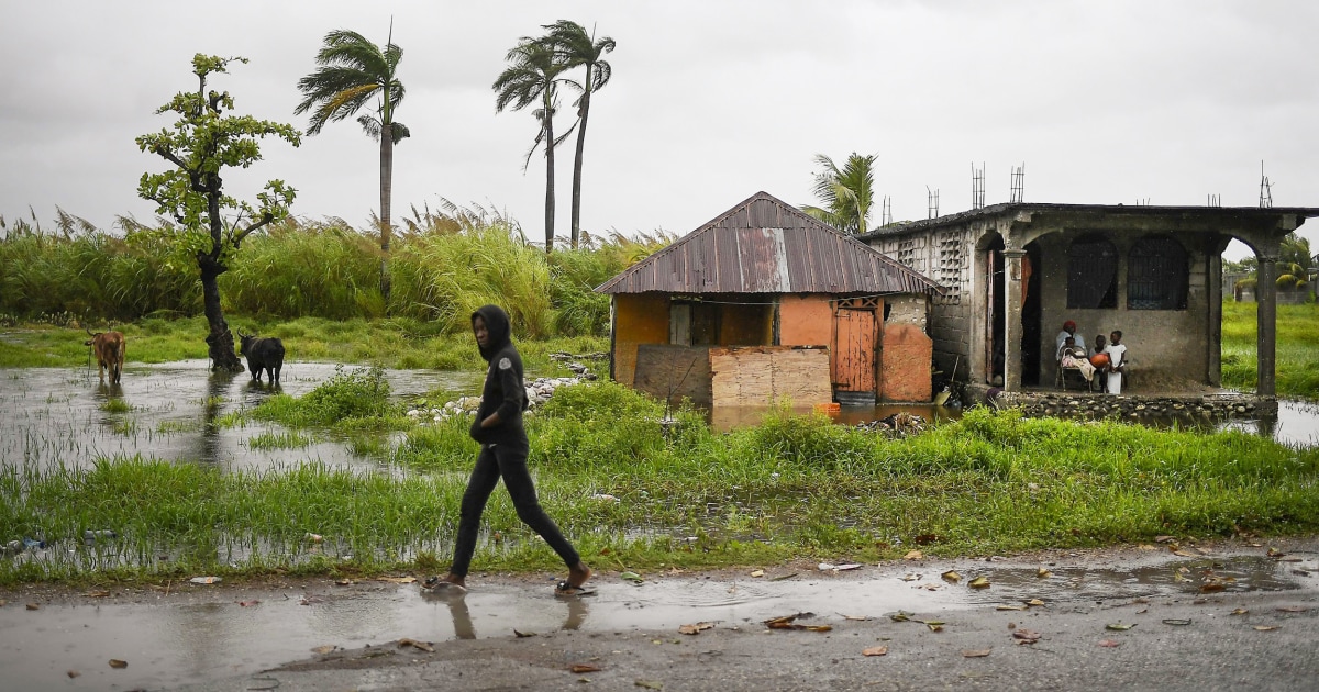
A trio of tropical storms were bringing heavy rains and winds on Tuesday to the Southeast and Caribbean.
Fred made landfall Monday afternoon near Cape San Blas, Florida, as a 65 mph tropical storm. This made Fred the fourth landfalling storm of 2021, all of which were tropical storms.
On Tuesday morning, heavy rain was falling across parts of the Southeast and a tornado watch was issued.
While still holding on to tropical depression status, it was forecast to weaken through Tuesday as it moved through the Southeast and into the Mid-Atlantic. The greatest risk associated with Fred will be heavy rainfall and flash flooding.
About 14 million people were under flood alerts Tuesday stretching from northern Georgia up through southwest Virginia. About 2-4 inches of rain, locally up to 10 inches, could fall especially across parts of the southern Appalachians where there is a high risk of flash flooding.
In addition to the flood threat, Fred could also produce some severe storms capable of quick spin-ups of tornadoes. That threat on Tuesday exists for portions of Georgia, South Carolina, North Carolina and southern Virginia.
On Wednesday, the isolated tornado threat will shift into portions of the Mid-Atlantic and interior Northeast, and include Washington, Baltimore and Philadelphia.
At the same time, forecasters were tracking Fred, eyes were also watching Tropical Storm Grace in the Caribbean.
As of mid-morning Tuesday, Grace had winds of 50mph and moving away from Haiti after dumping torrential rainfall over the areas hard hit by Saturday’s 7.2 magnitude earthquake.
On the forecast track, the center of Grace will be near the northern coast of Jamaica Tuesday afternoon, near the Cayman Islands Tuesday night, and then approach the Yucatan peninsula of Mexico late Wednesday or early Thursday.
Gradual strengthening is forecast during the next couple of days when Grace could be near hurricane strength as it approaches Mexico. Beyond that, Grace is expected to maintain tropical storm strength as it makes landfall on Mexico on Saturday.
On top of Fred and Grace, Henri was also named late Monday making it the eighth named storm of the season.
There are only two other years (in the satellite era), 2020 and 2005, that had eight named storms this early in the season. The average date of the eighth named storm is Sept. 9.
Henri is expected to remain a tropical storm as it pinwheels around Bermuda in the coming days, bringing unsettled weather to the island.
Source: | This article originally belongs to Nbcnews.com


