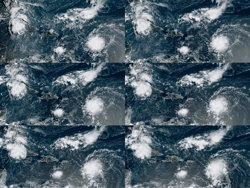
Tropical Storm Grace grew “a little stronger” on Saturday morning as it approaches the Caribbean, according to the National Hurricane Center.
The storm is moving towards the Leeward Islands at 23 miles per hour. But storm conditions are expected to deteriorate during the next day or so as Grace gets closer to the group of islands. These include the U.S. Virgin Islands, the British Virgin Islands, Anguilla, St. Marteen, St. Barthelemy, Saba, Sint Eustatius, St. Kitts, Nevis, Barbuda, Antigua, and Montserrat.
Tropical storm warnings are currently in effect on all of these islands as well as in Puerto Rico.
These areas could start experiencing tropical storm conditions sometime in the next 36 hours, the National Hurricane Center said.
The center of the storm is expected to move over the Leeward Islands Saturday night, and over the Virgin Islands and Puerto Rico on Sunday.
Grace brings maximum sustained winds of 45 miles per hour with higher gusts. While “some strengthening is forecast during the next day or so,” Grace’s winds will likely weaken while it moves near and across the Greater Antilles Sunday night through Monday night, according to the National Hurricane Center.
The Dominican Republic, which is currently under a tropical storm watch, could feel the effects of Grace on Monday, while the southeastern Bahamas and Cuba could experience storm conditions related to Grace on Tuesday, the National Hurricane Center said.
Over the northern Leeward Islands and Virgin Islands, Grace could bring 3 to 6 inches of rain that could produce scattered areas of flash and urban flooding. Heavy rainfall in Puerto Rico and the Dominican Republic could also cause floods and mudslides.
By mid to late next week, heavy rainfall from Grace could impact portions of Cuba, the Bahamas, and Florida.
Grace threatens to potentially bring storm conditions to Florida as Tropical Storm Fred was degraded to a tropical wave Saturday morning.
Remnants of Fred are expected to pass west of the Florida Keys Saturday afternoon as it moves towards the eastern Gulf of Mexico starting Saturday night.
The National Hurricane Center will continue to watch Fred’s remnants since they could possibly reorganize into a tropical depression on Sunday and gradually strengthen into a tropical storm once again.
Fred is then expected to move inland over the northern part of the Gulf of Mexico on Monday night.
Source: | This article originally belongs to Nbcnews.com


