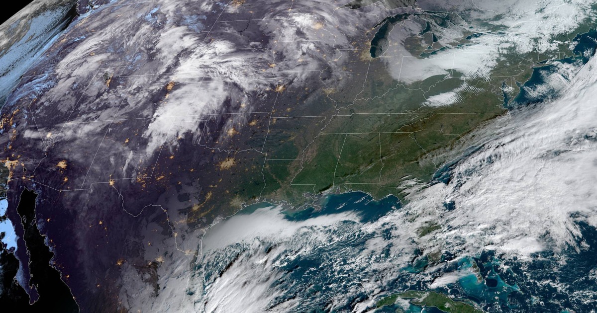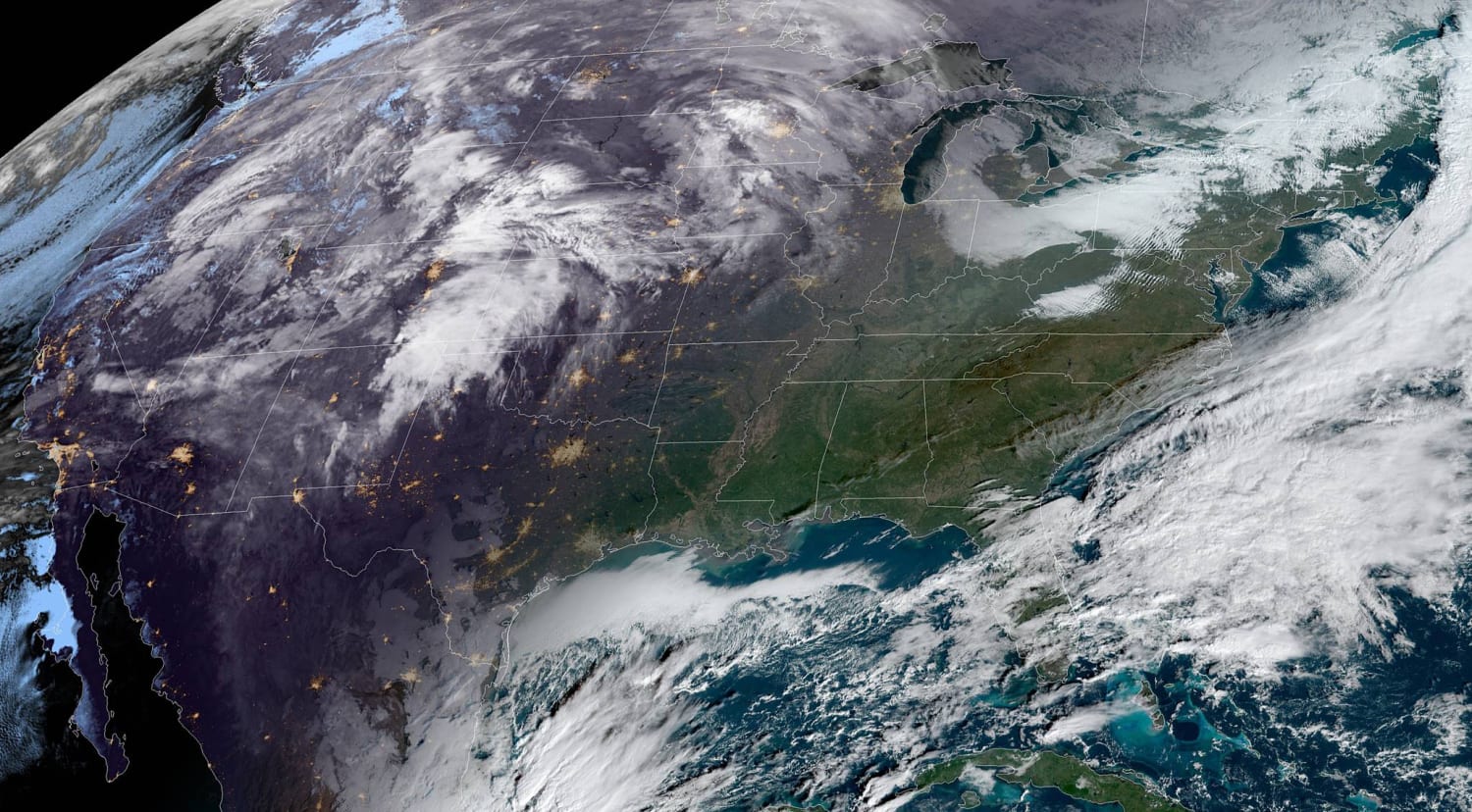
The forecast remains on track for a storm system that will bring rain, snow and wind to the eastern third of the country starting this weekend.
On Sunday, the storm will bring snow and gusty winds to parts of the Midwest and northern Great Lakes while showers and thunderstorms extend from the interior Northeast down through the Southeast.
Travel hubs that could experience delays on Sunday include Chicago, Detroit, Cleveland, Nashville and New Orleans.
On Monday, the storm system affects the East Coast with rain and wind for the I-95 corridor. The heaviest rain will likely fall during the first half of the day, with the second half of the day looking drier but with stronger winds.
Meanwhile, on the cold side of the storm, lake effect snow with gusty winds will continue downwind of the lakes.
Areas that could experience delays on Monday include Atlanta, Washington, New York, Boston, Cleveland, Detroit and Buffalo.
By Tuesday, the precipitation will be off the Atlantic Coast, but lake effect snow and stiff winds will continue to crank. The biting winds combined with the coldest air of the season will result in below-average temperatures with bitter wind chills.
Highs on Tuesday are forecast to be in the 30s across the Midwest and New England and 40s for the Northeast and Mid-Atlantic. Even Atlanta will struggle to reach 50 degrees for the high.
Rain totals will generally be 1 to 2 inches along the track of the storm, with locally higher amounts possible. The storm will be fast moving, so there isn’t a widespread flash flood risk at this time.
The heaviest accumulating snow will be in the typical snowbelt areas around the Great Lakes, where a foot or more could fall. Cities like Cleveland, Buffalo, Syracuse, New York and Pittsburgh could also see light to moderate accumulations.
While this holiday week storm is not forecast to be record-setting or particularly high impact, the timing is everything with the holiday rush. The inclement weather will touch some of the busiest airports in the nation — Chicago, Atlanta and New York — and will undoubtedly contribute to air delays.
Some good news, is a second storm that was forecast to hit the Pacific Northwest at the same time early next week has waned in expected intensity.
Thanksgiving Day Preview
For Thanksgiving Day, much of the East Coast looks cool and dry, with some blustery winds. Meanwhile, the Southern Plains and Southeast won’t be as lucky, with showers and storms that could extend down to the Gulf Coast.
Heading West, the Southwest is forecast to be dry and mild with mostly sunny skies. The Pacific Northwest, however, could see another round of rain and snow.
Source: | This article originally belongs to Nbcnews.com


