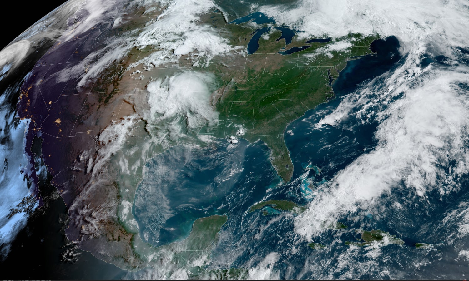
Much of the country will experience its 11th day in a row of record heat on Tuesday, all part of a pattern that has been in place across the southern tier of the lower-48 in place since early May.
Highs of between 15 and 25 degrees above average Tuesday are forecast, with temperatures feeling like mid-July across the Southern Plains as temperatures soar into the mid-90s and low-100s.
Cities that could set records Tuesday include Dallas, Amarillo and San Antonio, Texas, and Roswell, New Mexico.
This warmth expands east through the week, eventually leading to record highs across the Southeast and cities like Charlotte and Raleigh, North Carolina, and Orlando, Florida, by Friday.
By the time the week is over, more than 100 new daily record highs will likely be in the record books.
By Saturday, while cooler temperatures were expected to prevail across the Southern Plains, the warmth is expected to ramp up across the eastern seaboard where New York City could experience its first 90-degree day of the year.
This week’s heat comes on the heels of what was a record-shattering hot second week of May and this past weekend across the Southwest, Southern Plains and even New England.
Caribou, Maine, hit 90 for the first time over the weekend, beating historically hotter cities like Washington and Atlanta to the mark.
Last week, Amarillo had never before hit 100 degrees before May 15. Then did it twice in three days.
This heat, combined with low humidity and high winds helped fuel the Calf Canyon Fire in New Mexico. On Monday, the fire reached 280,000 acres burned making it the largest wildfire in New Mexico history (dating back to 1990).
The heat is also helping to fuel days of spring storms across parts of the country, with several days this week with a risk for strong to severe storms.
The week kicked off with severe storms that rocked portions of the Mid-Atlantic, Northeast and New England. Powerful winds knocked down trees and caused sporadic power outages for thousands across those regions.
On Tuesday, the risk for severe thunderstorms returns to the middle of the country. About 7 million people are at risk for severe storms capable of strong winds and hail. The tornado risk is low.
Heavy rain with rates of 1 to 2 inches per hour at times could spark isolated flash flooding, especially later in the day. Cities to watch include Omaha, Nebraska, Kansas City and Wichita, Kansas.
On Wednesday, strong storms are forecast to pepper the map across the western high plains as well as Ohio River Valley, but widespread severe storms are not expected.
By Thursday, the risk for severe storms returns to the Upper Midwest, putting 8 million at risk from Des Moines, Iowa, to Minneapolis. The main hazard will be the strong winds followed by hail and isolated tornadoes.
Source: | This article originally belongs to Nbcnews.com


