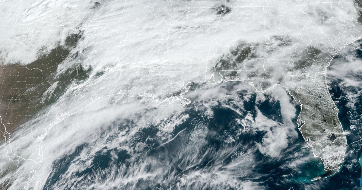


Friday night into Saturday morning is shaping up to be a dangerous period with severe thunderstorms charging across some parts of South and Gulf Coast states while flash flooding threatens other parts of the Southeast states.
On Friday 15 million people were under flood watches stretching from northeastern Louisiana to northwestern South Carolina.
Within the flood watch areas, a widespread 2 to 4 inches of rain is expected to fall with locally higher amounts possible.
While the Friday flood threat encompasses a large area, a smaller area of enhanced flooding concerns is along and just south of the I-20 corridor across Alabama and Georgia.
The southern portions of the major metro areas of Birmingham and Atlanta are included in this higher risk for flash flooding, along with the corridor from Montgomery, Alabama to Columbus and Macon, both in Georgia. While it is impossible to predict exactly where the highest rainfall amounts may occur, these are the areas most likely to receive isolated amounts as high as 6 to 8 inches of rain.
Many of the areas dealing with the risk for flash flooding will also have to contend with the possibility of strong to severe thunderstorms.
On Friday, 8 million people are at risk for severe storms from eastern Texas to southern Alabama. Damaging winds, large hail and isolated tornadoes will all be possible going into the evening hours.
Cities to watch include Shreveport, Baton Rouge, Montgomery, Mobile and Jackson, Mississippi.
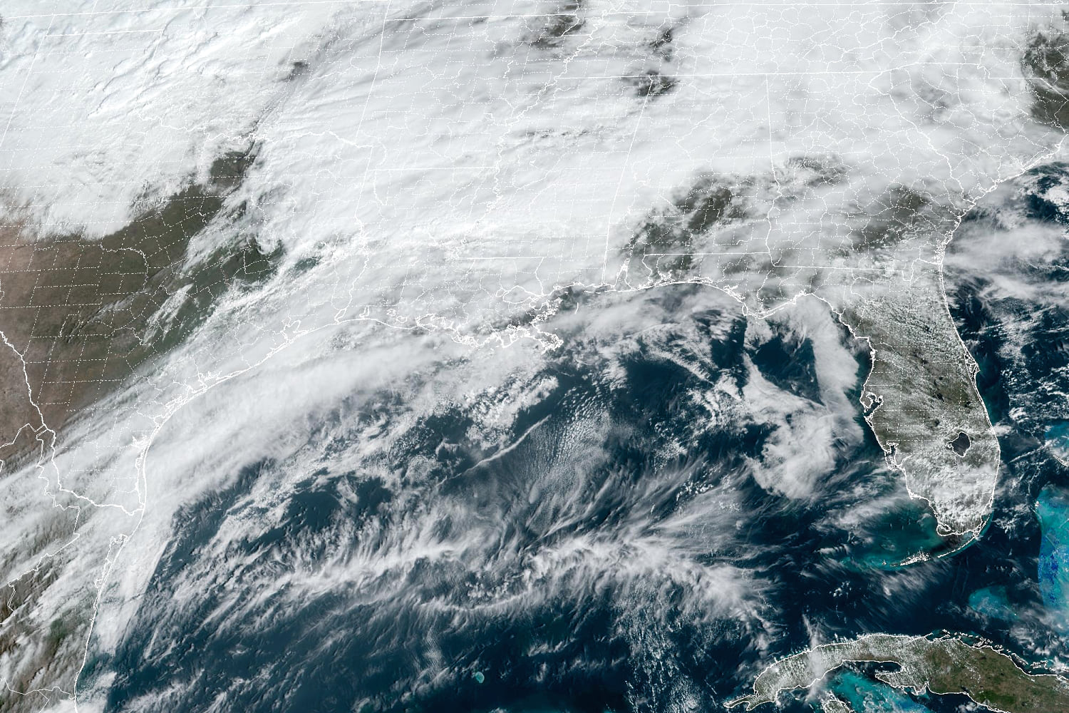
On Saturday the severe risk shifts east to include 15 million people from eastern Alabama and the Florida Panhandle up through southern North.
Severe thunderstorms are likely to be ongoing during the morning hours across the I-10 corridor in the Florida Panhandle and southern Georgia. The eastern Carolinas will have the greatest risk of an isolated tornado, with the storm risk lasting through the afternoon hours in that region.
Cities to watch for the possibility of hail, damaging winds and brief tornadoes include Tallahassee, Atlanta, Jacksonville, Charleston, Columbia and Wilmington, North Carolina.
The storm system will also bring a soaking rain for the Mid-Atlantic and Northeast on Saturday.
It has already been one of the wettest starts to a year on record in parts of the Northeast, with much of the tri-state as well as Rhode Island and western Massachusetts having a Top 10 wettest start. The weekend rain will only add to the running tally.
On Sunday as the storm pulls away and off the Atlantic coast, lake effect snow can be expected Saturday night into Sunday for the Great Lakes and interior Northeast.
Source: | This article originally belongs to Nbcnews.com