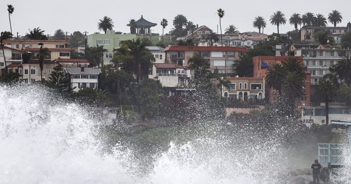

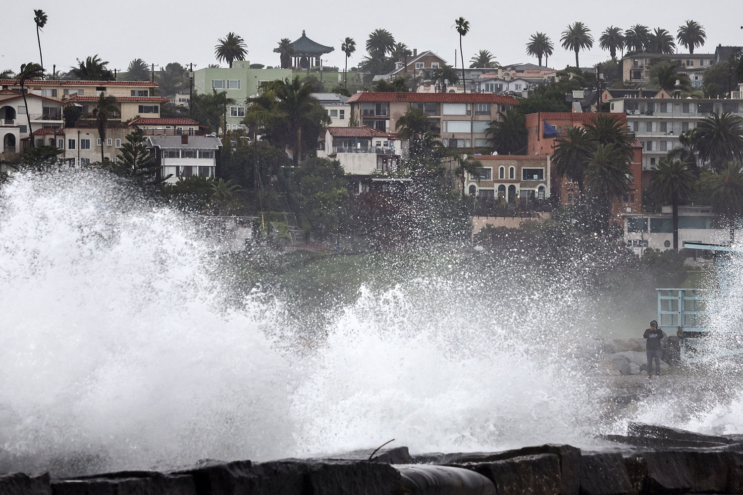

As yet another atmospheric river-fueled storm produces days of deluge in California, the state faces one more round of rain Wednesday morning.
The powerful storm, pounding the state with rain, wind and mountain snow since Monday, caused the Santa Barbara Airport to close, flash flooding around Los Angeles, and knocked down 100-year old trees in Refugio State Beach.
Following this latest deluge of heavy rainfall, Downtown Los Angeles has now picked up 14.38 inches of rain since Jan. 1. This is an incredible feat, considering they average 14.26 inches of rain over the course of an entire year.
This means that just two months into 2024, Los Angeles has already received 100% of its annual rainfall.
As of Wednesday morning, flood watches remained in effect for 23 million people across parts of California. The good news, is that most of the flood watches were set to expire by 10 a.m. PT.
After one last burst of rain was expected to move through southern California, conditions are expected to improve and dry out through the rest of the day.
As the storm moves east, it will bring some spotty snow showers to mountainous areas and scattered rain showers to parts of southern Nevada and Arizona. Flash flooding is not expected in these regions.
While California drying out is one top weather story for Wednesday, the other is spring-like temperatures soaring to record-levels across the Plains, Midwest and Great Lakes in the coming days.
With just 8 days left in meteorological winter — meteorological spring begins March 1 — it will actually feel more like Spring, especially for the central part of the country on Wednesday and Thursday.
Highs Wednesday are forecast to rise 15-25 degrees above average from east of the Rockies to western New York state.
Some record highs are also possible Wednesday across the southern Plains where highs could reach into the 80s. Some places that could see records today include Amarillo, Midland and Lubbock.
The warm weather will also bring a fire risk from New Mexico into the southern Rockies and parts of the Texas Panhandle, as winds gust over 35 mph and low humidity make conditions ripe for wildfires to spark and spread.
Temperatures will cool closer to seasonal averages through the weekend, before even warmer temperatures return early next week when dozens of record highs will be possible for the Plains, Midwest and Great Lakes.
With warmer-than-average temperatures expected for much of the country through the rest of February, this will increase the likelihood that the contiguous United States records its warmest winter on record.
According to Climate Central, winter is the fastest-warming season across the United States. While this is true coast-to-coast, the fastest warming regions, specifically, are the Northeast and the Great Lakes.
Source: | This article originally belongs to Nbcnews.com