

Following Monday’s spectacular eclipse, severe thunderstorms broke out across Texas shortly after the totality ended.
Through the night into Tuesday morning, there were dozens of hail reports of up to 2 to 3 inches in diameter across north Texas, including around the Dallas-Fort Worth metro area.
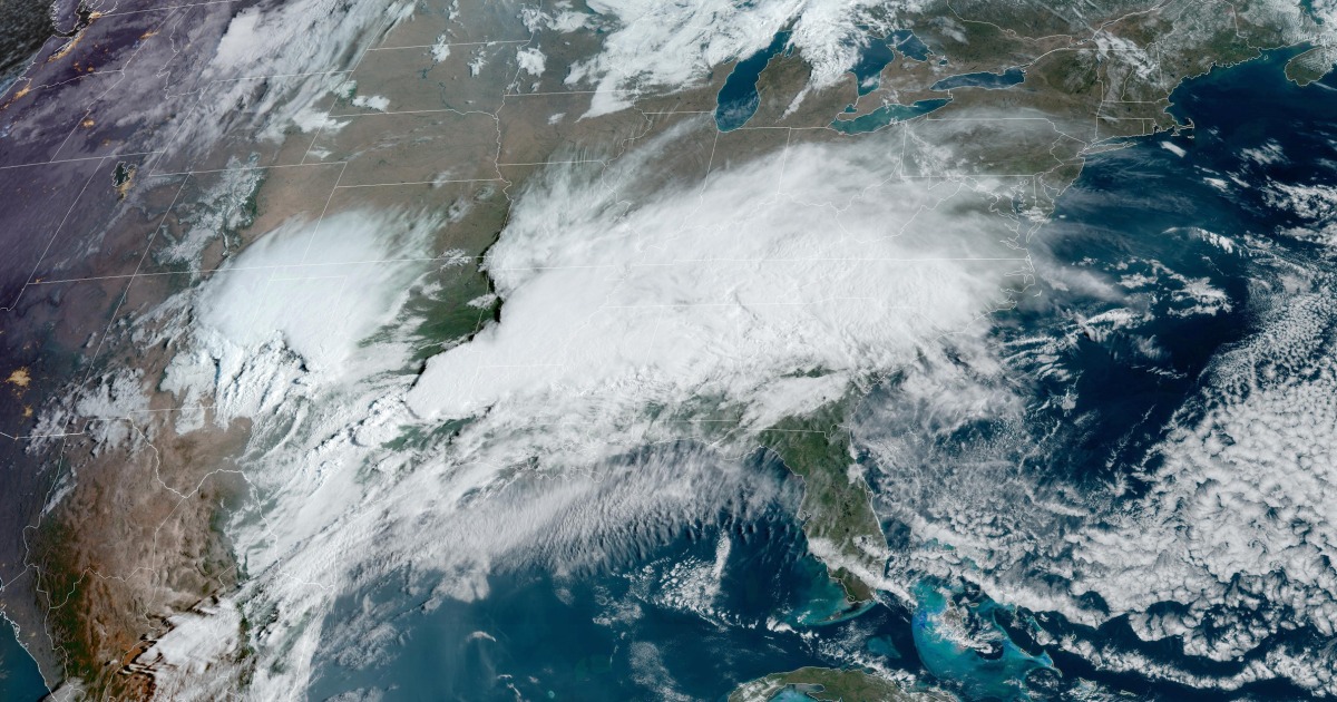
The severe risk continues Tuesday, with 22 million under the risk for severe storms from Texas to Louisiana.
The main risk will once again be very large hail across the entire risk area, but strong tornadoes are also a concern especially across extreme eastern Texas into western Louisiana.
As of Tuesday morning, storms were already ongoing and will continue through Tuesday night. Cities that need to watch for the risk of severe weather include Austin, San Antonio and Houston in Texas and Shreveport in Louisiana. Areas within the greatest tornado risk on Tuesday are Houston, College Station, Beaumont, Lufkin and Bryan, all in Texas.
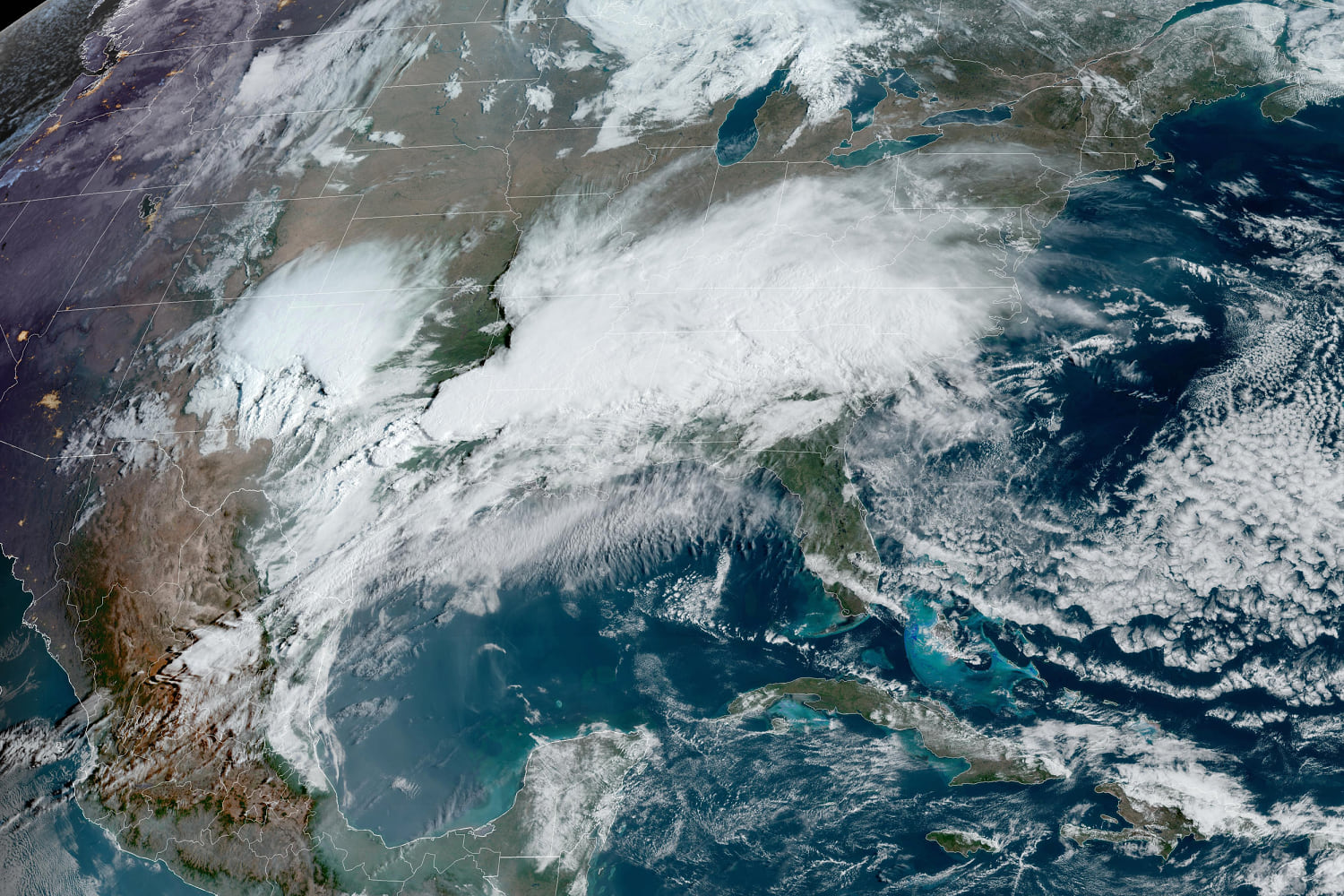
Wednesday is forecast to be the most volatile day of the week, with strong tornadoes and damaging straight-line winds in excess of 75 mph possible.
16 million people are under the risk area on Wednesday, stretching from eastern Texas to the Florida Panhandle.
It will be an all day affair, with severe thunderstorms likely charging through the southern states starting Wednesday morning. With the storms expected to last through Wednesday night, the largest concern will be a risk for tornadoes after dark. Nocturnal tornadoes are more than twice as likely to be fatal compared to daytime twisters.
Larger metro areas to watch are New Orleans and Shreveport in Louisiana; Jackson, Mississippi; Birmingham and Mobile in Alabama; and Pensacola, Florida.
On Thursday as the system continues east, the threat level will come down a bit but there will still be two areas to watch for damaging storms, one across the Southeast and the other over the Ohio Valley.
These two areas encompass 26 million people across parts of Ohio, Kentucky, West Virginia, the Carolinas, Georgia and northern Florida.
Damaging winds and isolated tornadoes will be possible for cities like Jacksonville and Tallahassee in Florida; Charleston, South Carolina; Cincinnati and Columbus in Ohio; and Pittsburgh.
Some of the same areas that experience severe thunderstorms will also experience the possibility for significant flash flooding.
Flood Watches were up Tuesday morning for 8 million people from eastern Texas to central Alabama, and included the major metro areas of Shreveport, Louisiana; Jackson, Mississippi; and Birmingham, Alabama.
Thunderstorms over many of the same areas over the next 48 hours will produce a ribbon of 5 to 7 inches of rain, with locally higher amounts of 8 inches or more.
Through Tuesday night, the greatest risk for flash flooding will be across northern Louisiana, southern Arkansas and western Mississippi.
Wednesday through Thursday morning, the highest risk for flash flooding will be central Alabama, including Tuscaloosa, Birmingham and Montgomery.
Source: | This article originally belongs to Nbcnews.com