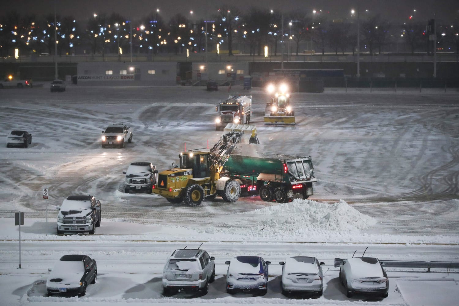
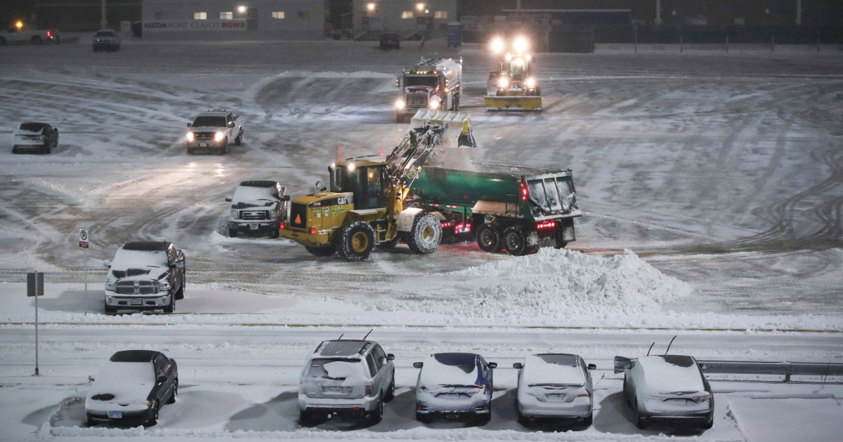
The month of January is not going out quietly, with four storms set to affect the continental United States through Friday.
In the past 24 hours, rare snowfall dusted the Las Vegas strip as Omaha, Nebraska, experienced their snowiest day in 45 years.
Along the East Coast, Washington finally broke their snowless streak with 0.3″ on Monday, which was the first measurable snow there in 372 days.
And it’s not over yet, with more storms in the pipeline.
On Tuesday, 94 million people were under winter alerts across parts of 30 states stretching from California to Massachusetts.
From the Midwest to Northeast, light to moderate snow on Tuesday was forecast to stretch from the Great Lakes to the Northeast. Meanwhile, strong storms capable of damaging winds and an isolated tornado were possible across portions of the Southeast and Gulf Coast from the same system that produced the strong tornado Monday night over Alabama.
Through Wednesday, 1-2 inches of rain could fall across the Southeast and 4-8 inches of snow across interior Northeast and New England.
A second storm system will form in the Southeast Wednesday and move up the Mid-Atlantic Coast on Thursday. Snow is likely for the Appalachian Mountains, where up to 6 inches could fall.
Two storms impacting the West will bring more beneficial rain and snow to a parched region.
The first storm will bring rain and snow to the desert Southwest and Four Corners Tuesday where an additional 6-12 inches of snow will fall through Wednesday especially across the mountainous areas.
In fact, this storm system brought some rare snowflakes which dusted the Las Vegas strip early Tuesday morning.
A second, stronger storm will arrive in northern California Tuesday night into Wednesday morning. This storm will be cold and packed with moisture thanks to a potent atmospheric river fueling it. This will result in massive snow totals for the Sierra Nevada mountain range and extremely heavy rainfall along the coast.
Some 7-10 inches of rain is forecast to fall for areas including around the recent burn scars. Evacuations were ordered on Monday for locations near the CZU Lightning Complex Fire due to the high risk of landslides and debris flows.
Where the moisture meets the cold air, more than seven feet of snow could fall across portions of the Sierra. With snow levels as low as 500 feet, there could be rare accumulating snow for locations like Redding and parts of the Sacramento Valley.
The Sacramento Valley is under a Winter Storm Warning for the potential for double-digit snow totals. Should that forecast come to fruition, it could be their biggest snowstorm in over 30 years and could be crippling for an area not accustomed to seeing that much snow.
Source: | This article originally belongs to Nbcnews.com