On Friday, highly unusual November warmth continued building across the eastern third of the country with weekend and Monday high temperatures being 20 to 30 degrees above average for millions.
Highs in the 60s, 70s, and 80s will make it feel more like mid-September than the first week of November.
While nearly two dozen record highs are possible Friday through the weekend, Monday could see as many as 40 record highs from the Southeast to New England.
This stretch of November warmth will be both record-setting in the temperatures themselves and also the duration of warmth.
New York’s La Guardia Airport could set record highs three days in a row (Saturday, Sunday and Monday). On Sunday, with temperatures expected to be in the mid-60s to low-70s through the first half of the day, it will be one of the warmest New York City Marathons on record. It won’t just be a warm race, but also a muggy one as high dewpoints will lead to high humidity racing conditions.
Boston will likely set record highs two days in a row, and is looking at four days in a row with great than 70-degree temperatures. That has only happened four other years on record and should the forecast come true, will be the warmest November week on record in Boston.
Other cities that could set record highs in the coming days include Washington, Philadelphia, Atlanta, Memphis and Buffalo, New York.
Atlanta will likely hit the 80-degree mark, while Washington could also make a run at 80 degrees with the high forecast on Sunday and Monday currently 78 and 79, respectively.
The startling warmth can be attributed to climate change and may cause severe storms
According to Climate Central, fall season warming is prolific across the United States.
Fall temperatures have increased by 2.7 °F on average across the contiguous U.S. since 1970 and has been nearly universal across the U.S.
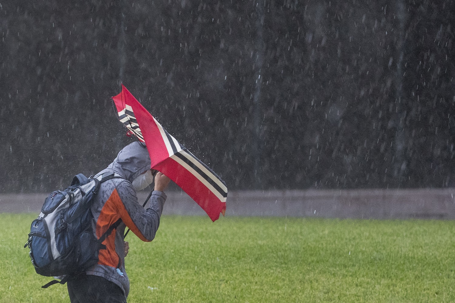
The warmth on Friday is expected to fuel a possible severe weather outbreak across parts of the central and southern Plains stretching to the Gulf Coast.
About 28 million people are at risk for severe thunderstorms Friday that will be capable of very large hail (baseball or larger), damaging wind gusts, and several tornadoes — some of which could be strong.
The overall risk area includes several large metro areas including Oklahoma City, Dallas, Austin, Houston, San Antonio in Texas and Little Rock, Arkansas and Shreveport, Louisiana.
The severe storms will start Friday afternoon, and last into the overnight hours which will compound the danger.
The greatest tornado risk stretches from southeast Oklahoma down along to just east of the I-35 corridor to just east of Austin. The Dallas metro area is included in the higher end tornado risk, especially the eastern portion of the metro.
There is a real concern for nocturnal tornadoes. Nighttime tornadoes are 2.5 times more likely to be fatal compared to their daytime counterparts due to people sleeping and not receiving warnings, and also due to reduced visibility.
As the storm system heads east Saturday, strong storms could impact areas like New Orleans, Jackson, Mississippi, and Mobile, Alabama. The severe risk is expected to be lower compared to Friday.
Severe thunderstorms are common during the fall season, with October and November considered the “second season” for severe weather, with Spring being the first.

Source: | This article originally belongs to Nbcnews.com