A strengthening Tropical Storm Ida is expected to reach Louisiana on Sunday evening as a major hurricane — 16 years after Hurricane Katrina hit the state as a devastating Category 3 storm.
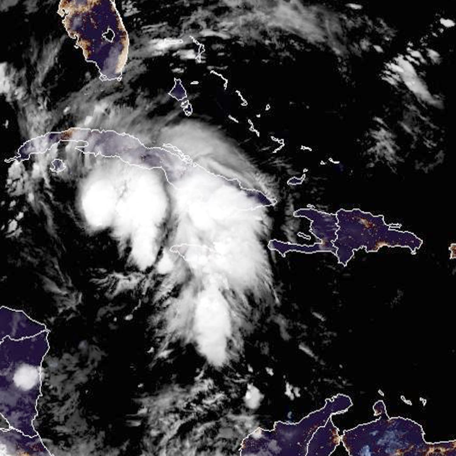
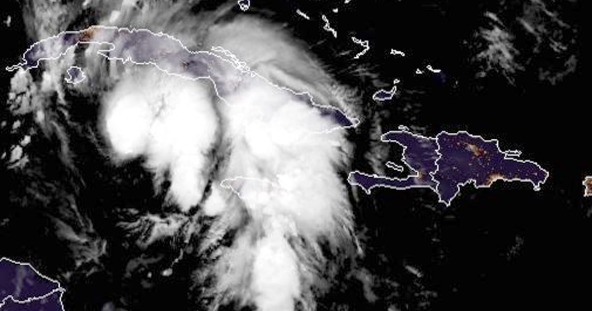
Ida, which made its way through the Cayman Islands on Friday, is forecast to become a hurricane over the southeastern Gulf of Mexico at or near major hurricane strength — Category 3 or higher — when it heads toward the northern Gulf Coast on Sunday, according to the National Hurricane Center.
The region will likely be under a hurricane warning later Friday, the center said. Hurricane watches were already issued for parts of the coasts of Alabama and Louisiana. Ida poses a significant threat to New Orleans, which could take a particularly bad hit, forecasters said.
“The maximum sustained winds have increased to near 60 mph with higher gusts, and additional steady to rapid strengthening is expected during the next few days,” the center said. The storm is expected to move away from the Cayman Islands and over the Isle of Youth and western Cuba, then toward the southeastern and central Gulf of Mexico before hitting the Gulf Coast.
Southeast Louisiana to coastal Mississippi and Alabama could get up to 16 inches of rain, with some areas seeing 20 inches through Monday morning.
And “the combination of a dangerous storm surge and the tide will cause normally dry areas near the coast to be flooded by rising waters moving inland from the shoreline,” according to the center.
From Morgan City, Louisiana, to Ocean Springs, Mississippi, the water could rise to 11 feet.
“The deepest water will occur along the immediate coast near and to the east of the landfall location, where the surge will be accompanied by large and dangerous waves,” the National Weather Service said.
The east side of New Orleans on Lake Borgne should expect 7 to 11 feet. The city’s floodwalls will be tested against the surge, while its water pumps will be tasked with draining the possible rainfall.
“Unfortunately, all of Louisiana’s coastline is currently in the forecast cone for Tropical Storm Ida, which is strengthening and could come ashore in Louisiana as a major hurricane as Gulf conditions are conducive for rapid intensification,” Gov. John Bel Edwards said.
“By Saturday evening, everyone should be in the location where they intend to ride out the storm,” he added.
The mayor of Grand Isle, a Louisiana town on a narrow barrier island in the Gulf, called for a voluntary evacuation late Thursday ahead of Ida and said a mandatory evacuation would take effect Friday.
“Ida certainly has the potential to be very bad,” said Brian McNoldy, a hurricane researcher at the University of Miami.
Ida joins a list of “I” named storms — Irma, Ike, Ivan — that were some of the more historically damaging hurricanes. This is because “I” named storms typically happen at peak hurricane season when the atmospheric ingredients favor strong tropical cyclones and the steering patterns favor landfalls. Eleven “I” names have been retired, the most of any other alphabetical letter on record.
Kathryn Prociv and The Associated Press contributed.
Source: | This article originally belongs to Nbcnews.com