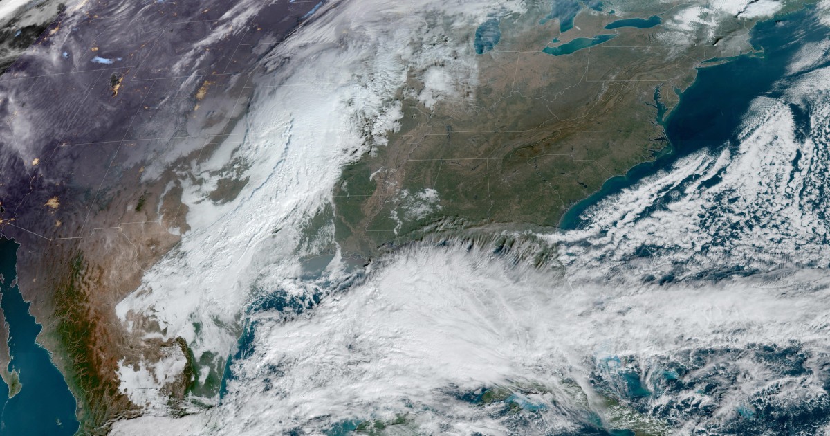

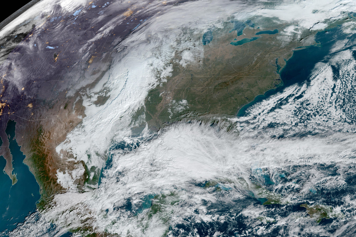

A storm system organizing over the Gulf of Mexico is expected to rake up the East Coast this weekend, leading to nasty weather conditions and potential travel headaches for those heading out for the holidays or trying to finish some holiday shopping.
This storm will be a prolific rain and wind maker across the Eastern Seaboard, with impacts lasting through Monday. Flood and wind alerts were in effect for portions of Florida on Friday morning, with more alerts expected to expand up the East Coast on Friday night and Saturday.
Heading into Saturday, the expansive storm system will engulf nearly the entire Sunshine State with torrential rain and gusty winds. Coastal flooding will also be an issue, including in and around Tampa.
After dark, a risk of severe weather will be possible overnight Saturday into the early morning hours on Sunday across the Florida Peninsula, with the chance of isolated nocturnal tornadoes especially prevalent across the central part of the state. This tornado risk includes the metro areas of Tampa and Orlando.
Forecasters urged those living in Florida to have a way to receive warnings in the event of a nighttime tornado event.
The entire Interstate 95 corridor will be impacted Sunday and Monday, as the storm intensifies and produces strong winds and heavy rain from the mid-Atlantic to the Northeast.
For major metro areas such as Washington, D.C., and New York City, the rain is expected to begin by midmorning on Sunday and last through Monday afternoon.
This storm will be a prolific rain maker, with the entire east coast from Florida to Maine likely to see anywhere from 1 to 3 inches of rain. Florida and the coastal Carolinas could see some of the highest rainfall totals from the event, with isolated totals up to 5 to 7 inches expected.
Widespread gusty winds will leave homeowners tying down their holiday decorations, as the entire Eastern Seaboard is expected to see gusts between 30 to 50 mph, with stronger gusts along the coast.
With water levels already at a higher state due to the new moon, coastal flooding will be likely, especially for highly vulnerable areas like Charleston, South Carolina, and along the Northeast coast.
This fast-moving storm has the possibility to affect travel both on the ground and in the sky, so travelers this weekend and into early next week should be prepared for delays and possible cancellations ahead of the storm.
Source: | This article originally belongs to Nbcnews.com