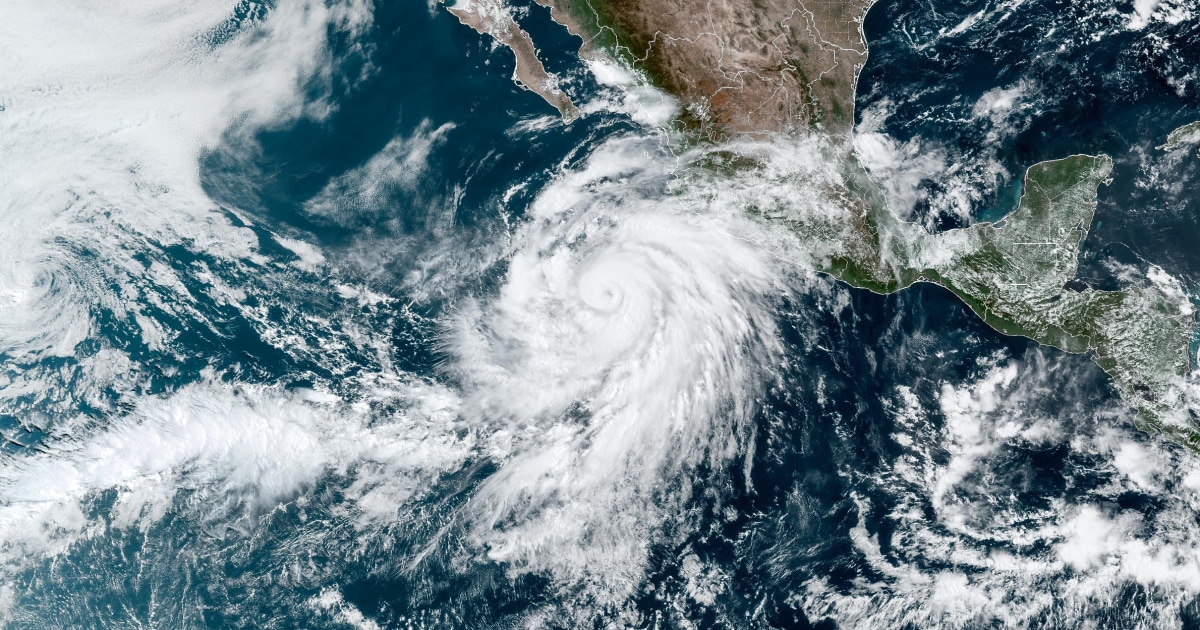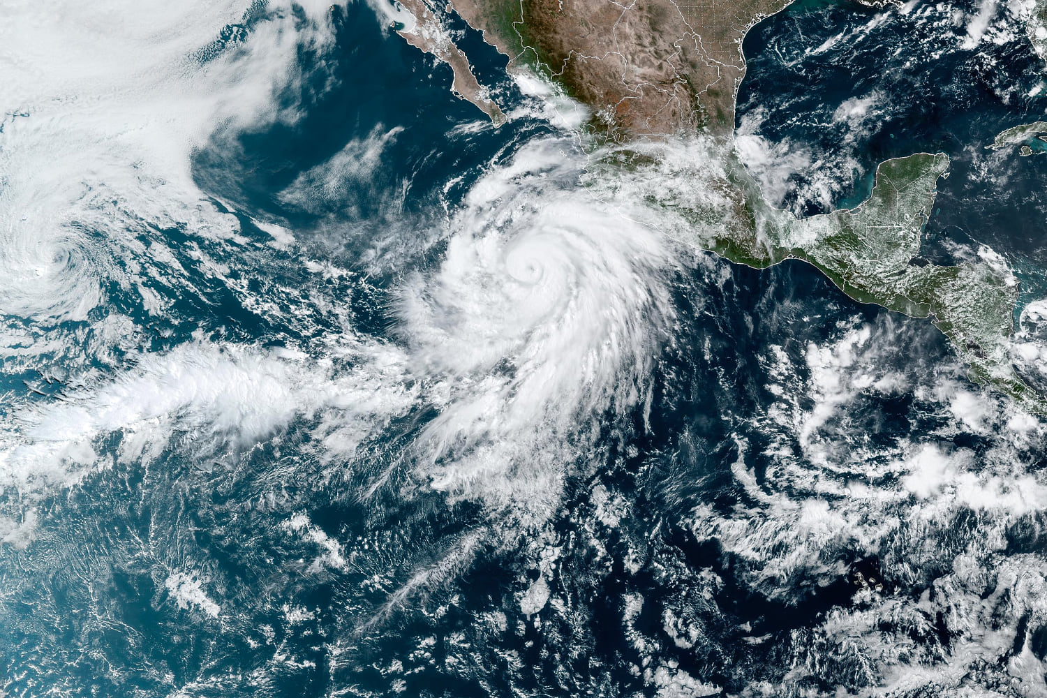
Early forecasts for the upcoming Atlantic hurricane season suggest it could be extreme, perhaps even record-breaking.
Colorado State University, a prominent hurricane and tropical weather forecast center, released its predictions on Thursday: 11 hurricanes, five of which are expected to become Category 3, 4 or 5, meaning they’d have wind speeds of at least 111 mph. Overall, the researchers anticipate 23 named storms this season.
“This is the highest April forecast that we have put out,” Philip Klotzbach, a Colorado State meteorologist and Atlantic hurricane forecaster, said in a video news briefing.
An average Atlantic hurricane season has 14 named storms, seven hurricanes and three major hurricanes (Category 3 or above), according to the National Hurricane Center.
The two main reasons forecasters expect the coming season — which runs from June 1 to Nov. 30 — to be so far above average are extreme levels of Atlantic Ocean heat and a seasonal switch to La Niña, a natural pattern of variability. Ocean temperatures have been record-high for a year, which makes powerful storms more likely and can enable them to intensify more quickly.
The Colorado forecast says there is a 62% chance that a major hurricane strikes the U.S. coastline, which is about 19% higher than the baseline. The prediction comes early in the year, however, and will be updated throughout the season. The National Oceanic and Atmospheric Administration has not yet released its forecast.
Other hurricane researchers said they share concerns about a combination of unnatural ocean heat and the natural effects of La Niña.
“All these things are pulling in the same direction towards what could be a hyperactive hurricane season in 2024, along with extremely powerful hurricanes — the catastrophic ones that we really need to be concerned about,” said John Morales, a meteorologist and hurricane specialist for NBC 6 South Florida.
Sea surface temperatures have soared worldwide, setting new daily records for more than a year. The trend has puzzled ocean scientists, though it is likely spurred, in part, by climate change.
Some of the largest temperature anomalies have been observed in waters off Africa’s west coast; Atlantic hurricanes that strike the East Coast of the United States often start in that area.
“The ocean heat content in the tropical east Atlantic is now *3 MONTHS* ahead of normal,” Brian McNoldy, a senior research associate at the University of Miami Rosenstiel School of Marine, Atmospheric, and Earth Science wrote in a post on X. In other words, ocean heat there today looks like it typically would in July.
Ocean heat is fuel for extreme storms. It can raise the risk of rapid intensification — when hurricane winds worsen suddenly as they near the shore. In recent years, scientists have seen an increase in such intensification: Hurricane Idalia strengthened from a Category 1 to Category 4 storm in a 24-hour span last year.
Morales said this rapid intensification is “one of the biggest fears that I, as a hurricane forecaster, have had to internalize over the last 15, 20 years.”
“One of these days, there’s going to be a mundane tropical storm, which 36 hours later, will make landfall in Miami as a Category 4 hurricane,” he said. “And people may not prepare like they should.”
Source: | This article originally belongs to Nbcnews.com


