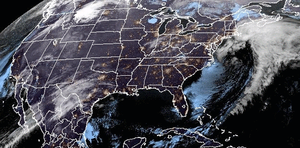
Two weather systems traversing the country this week will bring strong winds, heavy snow and severe storms to the lower 48 through Thursday.
Already Monday morning, nearly 20 million people were under wind alerts from California to Arkansas and nearly 10 million people were under winter alerts for parts of the West Coast, the Rockies and the Upper Midwest.
The first storm will get organized Monday across the Rockies and the Four Corners region, where it was expected to produce some mountain snow and wind gusts up to 60 mph.
On Tuesday, as the storm system moves east, it will bring heavy rain to the central Plains and the Midwest and some snow to the Upper Midwest.
Minneapolis is the largest metro area that could see a few inches of snow from this first storm, with the snow forecast to fall late Tuesday into midday Wednesday.
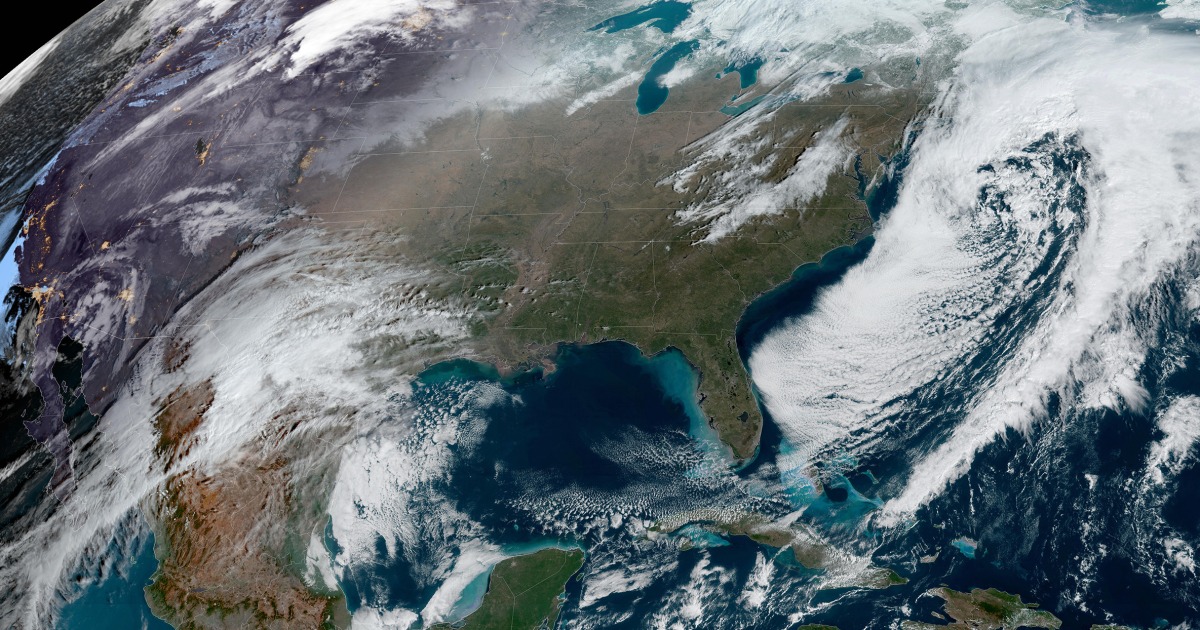
The second storm will be the stronger of the two.
It is expected to bring some snow to the Rockies and the Four Corners regions Tuesday, before strengthening, expanding in size and heading east by Wednesday.
By Wednesday, it will bring snow from Denver into the central Plains as severe storms break out across parts of Oklahoma, Texas, Arkansas, Louisiana, Mississippi and Tennessee. As many as 8 million people are at risk for damaging winds, isolated tornadoes and large hail with cities to watch including Dallas, Memphis, Tennessee, Little Rock, Arkansas, and Shreveport, Louisiana.
On Thursday, snow will spread into the Midwest and the Great Lakes region, meaning cities such as Des Moines, Iowa, Madison, Wisconsin, Milwaukee and Chicago could see measurable snow. At the same time, severe storms will be possible for a large area encompassing 30 million people stretching from Cleveland to Mobile, Alabama. Other cities at risk for severe storms include Cincinnati, Nashville, Tennessee, Birmingham, Alabama, and Jackson, Mississippi.
Timing and snow totals from the second storm system:
- Denver expects snow Tuesday night through Wednesday; gusty winds and 1 to 5 inches of snow possible.
- Kansas City, Missouri, should see rain changing to snow Wednesday night and continuing through noon Thursday; a dusting to a couple inches of snow are possible.
- Des Moines, Iowa, will see snow Wednesday night through noon Thursday; 2 to 4 inches of snow are possible.
- Chicago can expect a dusting to a couple of inches of snow from Wednesday night into Thursday.
One of the ingredients fueling the severe thunderstorms will be springlike warmth, especially later in the week.
Highs 15 to 25 degrees above average will lead to approximately three dozen record highs from the Great Lakes to the Northeast. Highs in the 60s and 70s for millions will make it feel more like April than mid-February.
Some cities that could set record highs this week include Green Bay, Wisconsin, Cleveland, Paducah, Kentucky, and Boston, which is forecast to reach a high in the mid-60s by Thursday.
On that same day, New York City will make a run for 60 degrees, and Washington, D.C., could reach 70 degrees.
Source: | This article originally belongs to Nbcnews.com