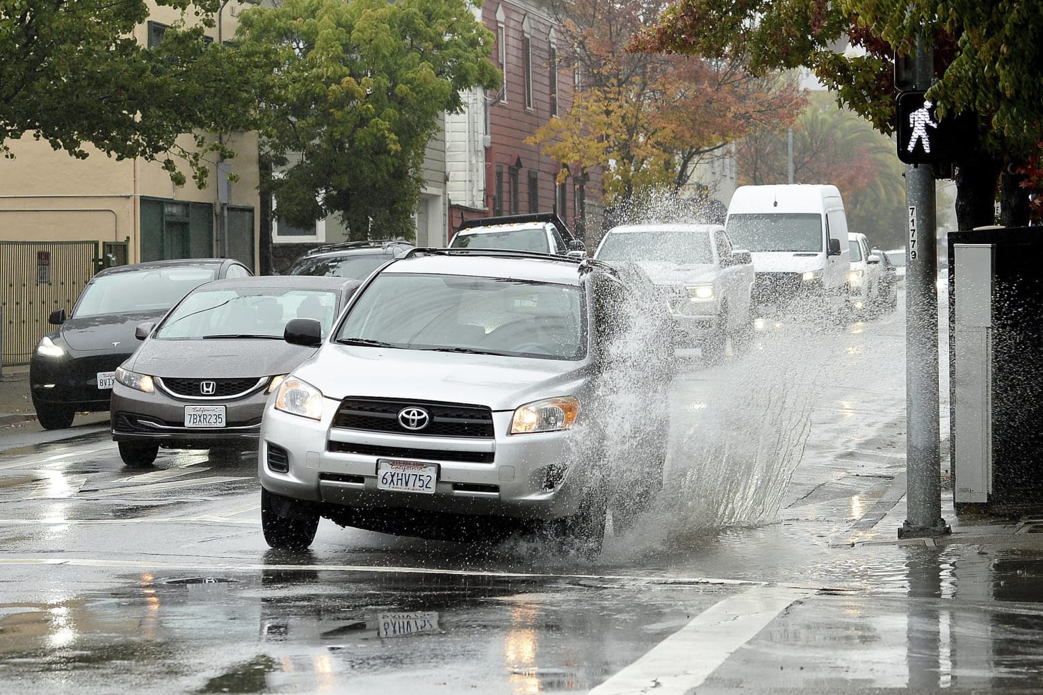
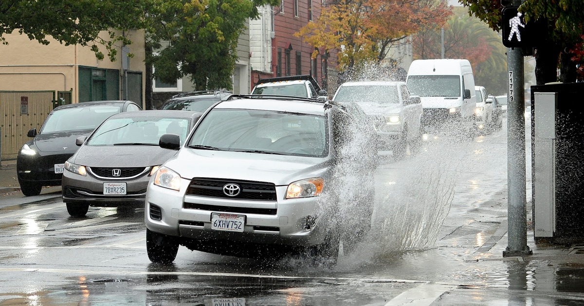
A powerful storm roared ashore Sunday in Northern California, flooding highways, toppling trees and causing mud flows in burn areas left bare by wildfires as forecasters predicted record rainfall.
Drenching rain and strong winds accompanied the arrival of an atmospheric river — a long and wide plume of moisture pulled in from the Pacific Ocean that was predicted to move south over the next few days. The weather service’s Sacramento office warned of “potentially historic rain.”
Roughly 165,448 California utility customers were without power Sunday afternoon.
Flooding was reported across the San Francisco Bay Area, closing streets in Berkeley and inundating the Bay Bridge toll plaza in Oakland. By sunrise on Sunday, Mount Tamalpais just north of San Francisco had recorded over 6 inches of rainfall during the previous 12 hours, the National Weather Service tweeted.
The city of San Francisco ordered evacuations on a street where a 100-foot tree threatened to topple.
The Richmond-San Rafael Bridge was the site of an overturned commercial vehicle Sunday, reportedly caused by wind.
Inundated by rain, the Oakland Zoo closed its doors to visitors Sunday.
About 150 miles to the north, the California Highway Patrol closed State Route 70 in Butte County because of mudslides within the massive Caldor Fire burn scar.
“We have already had several collisions this morning for vehicles hydroplaning, numerous trees falling, and several roadways that are experiencing flooding,” tweeted the highway patrol’s office in Oroville. “If you can stay home and off the roads today, please do. If you are out on the roads, please use extreme caution.”
Burn areas remain a concern, as land devoid of vegetation can’t soak up heavy rainfall as quickly, increasing the likelihood of mudslides and flash flooding that could trap people.
“If you are in the vicinity of a recent burn scar and haven’t already, prepare now for likely debris flows,” the weather service said on Twitter. “If you are told to evacuate by local officials, or you feel threatened, do not hesitate to do so. If it is too late to evacuate, get to higher ground.”
Multiple sections of state route 70 in Northern California were shut down as a result of rocks and debris on the roadway.
Flash flood watches were in effect Sunday from the North Bay to Big Sur in Monterey County.
In Santa Rosa, north of San Francisco, more than 3 inches of rain caused flooding, and authorities ordered the evacuation of 95 homes and an apartment complex, Mayor Chris Rogers tweeted.
A swift-water rescue team assisted with a few evacuations, he said.
In the Mammoth Lakes area of the Sierra Nevada, snowflakes fell with the rain.
South of San Francisco, evacuation orders were in effect in the Santa Cruz Mountains over concerns that several inches of rain could trigger debris flows in the CZU Lightning Complex Fire burn scar. Further south, parts of western Santa Barbara County were under an evacuation warning in the area burned by this month’s Alisal Fire.
Strong winds were also expected, with gusts of up to 60 mph at the windiest spots in Northern California. Elevations above 9,000 feet in the Sierra Nevada could get 18 inches of snow or more from Sunday until Monday morning.
In Fresno County, in the Central Valley, sheriff’s officials “decided to put the entire Creek Fire burn scar area into evacuation warning status.”
San Luis Obispo and Santa Barbara counties were expected to receive as much as 3 inches of rain when the storm reached the area Sunday night, according to the National Weather Service.
The Angeles National Forest in Los Angeles tweeted that people in the area should be on the lookout for flash flooding.
Recent storms have helped contain some of the nation’s largest wildfires this year. But it remains to be seen if the wet weather will make a dent in the drought that’s plaguing California and the western United States. California’s climate is hotter and drier now and that means the rain and snow that does fall is likely to evaporate or absorb into the soil.
California’s 2021 water year, which ended Sept. 30, was the second driest on record and last year’s was the fifth driest on record. Some of the state’s most important reservoirs are at record low levels.
Dennis Romero contributed.
Source: | This article originally belongs to Nbcnews.com