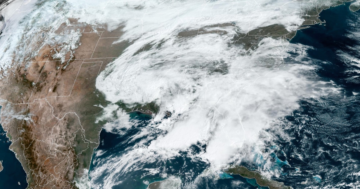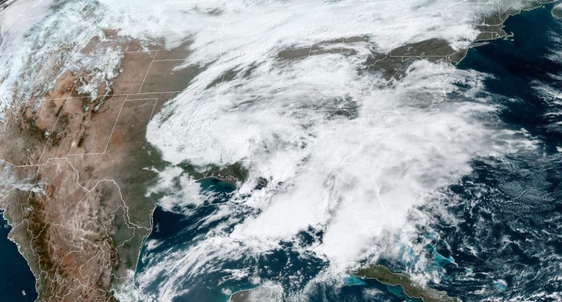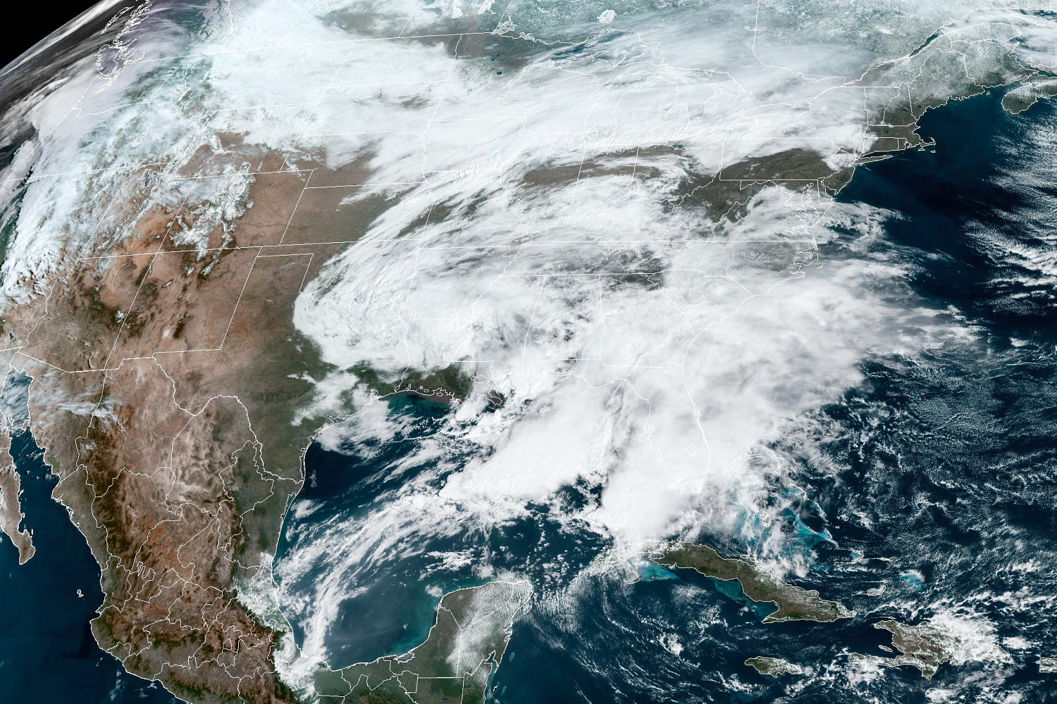
Two winter storms are expected to bring heavy snow, strong winds, severe thunderstorms and flash flooding to many parts of the northern U.S. starting Friday into next week.
Winter alerts are up for 32 million people Friday and Saturday from the northern Rocky Mountains and Upper Midwest through the central Great Lakes region and into New England.
The first storm will move quickly and bring snow to eastern Minnesota, Wisconsin and Michigan Friday, and the interior Northeast and New England Saturday. Light to moderate snow is expected in an area stretching from the Upper Midwest to the Great Lakes, where 2 to 7 inches of snow will fall overnight.
Snow amounts Saturday and into the night in northern New England will be as high as 12 to 18 inches.
The second storm will kick off Sunday and could bring higher accumulations of snow and stronger winds to the Upper Midwest than the first storm. Unlike the first storm, however, it will not bring accumulating snow to New England.
Sunday’s snow and wind will impact North and South Dakota, Minnesota and northern Wisconsin. On Monday the storm will slow down and strengthen over the Upper Midwest, bringing continuous snow and strong wind gusts to the Dakotas and Minnesota. The snow will continue until at least midday Tuesday.
Snow accumulations during the storm could be as high as 12 to 18 inches in parts of Minnesota, including the Minneapolis metro area and Duluth.
The area spanning from the Dakotas into western Minnesota is known as “blizzard alley,” and this region may live up to its name early next week. Winds are forecasted to be as high as 35 to 40 mph, which could bring blizzard conditions, especially on Monday and Tuesday.
In south Florida and southern New England, 53 million people are under flood watches. Cities in the risk zone include Miami, Washington, D.C., New York City and Boston.
On Friday, the flood risk is highest for south Florida, where 6 to 7 inches of rain could fall. Severe thunderstorms capable of high winds and isolated tornadoes will also be possible, especially for the Florida Keys.
The flood risk will shift to southern New England Saturday, where a widespread 2 to 4 inches is expected, including for the Interstate 95 corridor. Isolated areas of more than 4 inches cannot be ruled out, especially for coastal areas.
Source: | This article originally belongs to Nbcnews.com


