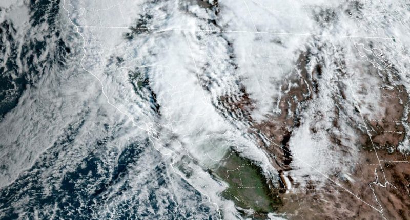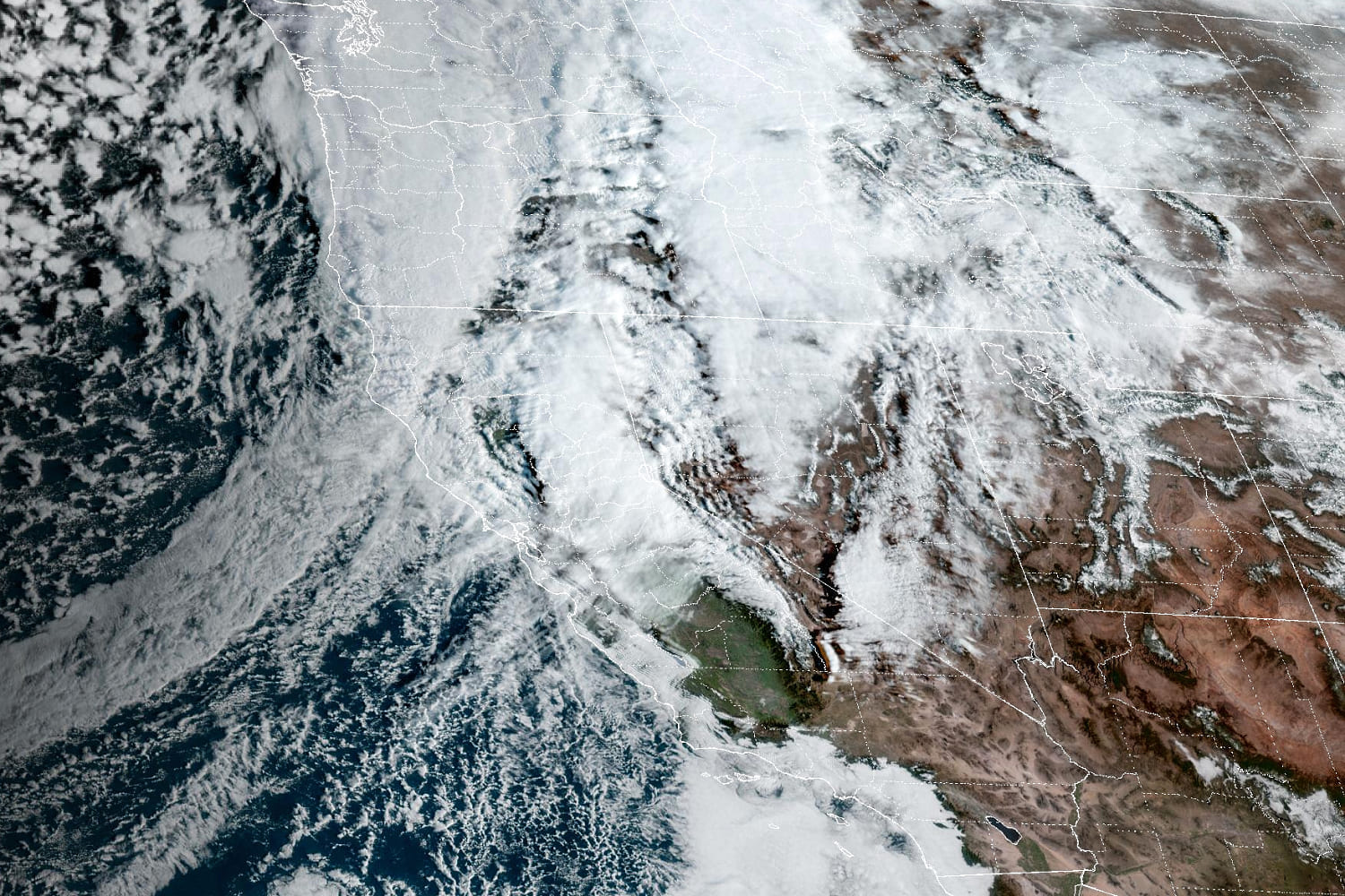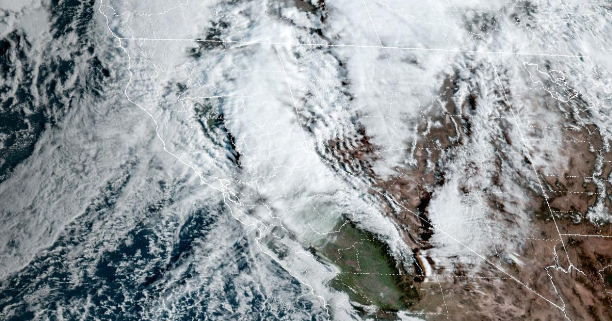
March will roar in like a lion for the West Coast, where the Sierra Nevada is about to be blasted by a multiday blizzard that begins Thursday night and will last until Sunday.
At the peak of the storm, some locations — like Donner Pass in California and Lake Tahoe on the California-Nevada border — could experience snowfall rates of 1 to 2 inches per hour and ferocious wind gusts of 50 to 100 mph for 72 hours straight.
Given this will be such a cold and windy storm, the blinding snow could snarl a large stretch of the heavily traveled I-80 corridor and greatly affect communities as low as the Sierra foothills.
The snow will begin to intensify across northern and central portions of the Sierra on Thursday night into early Friday morning.
Heavy snow and fierce winds will affect the Sierra all day while windswept rain drenches coastal areas (including the Bay Area).
On Saturday, the heavy snow will continue to blanket the Sierra, while rain moves into Southern California.
By the time the storm wraps up Sunday, snowfall will be measured in feet, with up to 5 to 10 feet possible at the highest elevations.
Some specific snowfall forecasts:
- Donner Pass: 5-10 feet
- Blue Canyon: 4-7 feet
- Lake Tahoe: 3-6 feet
- Pollock Pines: 1-3 feet
Up to this point in the season, much of the Sierra has been running below average in snowfall. In some spots, the snowfall deficit is as much as 7 to 8 feet. This single storm could erase some snowfall deficits and instead create a surplus.
If the maximum snowfall forecast ranges can be realized, this storm may end up setting records for one of the largest snowstorms on record. It could also rival some of the largest single-day snowstorms for parts of the central Sierra.
Area forecast offices were also warning of a high to extreme avalanche danger, with large to very large avalanches possible, especially in the backcountry.
As the West deals with cold and snow to kick off March, areas to the east will be picking up right where February left off — with record warmth.
February set records from coast to coast, where 92% of the Lower 48 states experienced warmer than average temperatures. The only exceptions were parts of California and the Florida Peninsula.
Cities that will go down as having their warmest February on record include: Fargo, North Dakota; Minneapolis; Des Moines, Iowa; St. Louis; Tulsa, Oklahoma; Little Rock, Arkansas; Green Bay, Wisconsin; Chicago; Milwaukee; and Syracuse and Albany in New York.
After the recent temperature tumble and a couple of cold days, record warmth roars back for millions east of the Rocky Mountains beginning Friday and lasting through the weekend.
High temperatures climbing well above average will lead to record highs Friday through Monday from the Upper Midwest to interior Northeast. Sunday will be the day when most record highs are possible.
Cities that could set record highs this weekend into Monday include: Duluth, Minnesota; Green Bay, Wisconsin; Wichita, Kansas; Minneapolis; Tulsa, Oklahoma; Burlington, Vermont; Buffalo, New York; Detroit; and Milwaukee.
This will translate to cities like Minneapolis and Chicago soaring into the 70s and New York City rising into the 60s by Monday.
Source: | This article originally belongs to Nbcnews.com
