
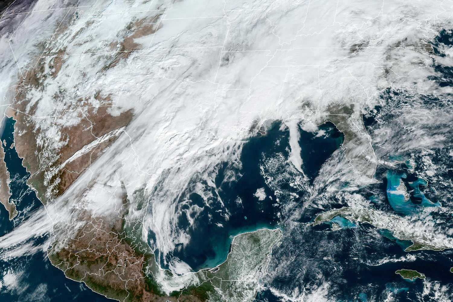
Dangerous flash flooding is possible across Louisiana and Mississippi on Wednesday as 2 to 5 inches of rain is expected to fall across the region, bringing more severe weather after at least 75 people in the United States have been killed in storms this past week.
Rainfall rates of 2 to 3 inches per hour will likely cause flash flooding, especially if the slow-moving axis of intense rainfall sets up over urban areas.
New Orleans, Baton Rouge and Lafayette in Louisiana, plus Jackson, Hattiesburg, Biloxi and Gulfport in Mississippi are just a handful of cities at risk for flash flooding.
Thirty-three million were under flood alerts Wednesday afternoon including Houston, New Orleans, Memphis and Atlanta.
Forecasters warned that localized double-digit rainfall totals in the 10-12 inch range were also not out of the question, especially after a second drenching of rain occurs during the day Thursday.
Twelve inches were forecast in Brenham, Texas, just over 10 inches in Industry, Texas, and nine inches in Richards and Huntsville, Texas.

These significant rainfall rates, combined with an already saturated ground, will create the risk for deadly flash flood conditions. Water rushing over roadways could sweep away cars and could be difficult to spot if the flooding occurs during nighttime.
In addition to urban flash flooding, river flooding will also be a concern, especially along major rivers such as the Trinity, San Jacinto and Navidad rivers in southeastern Texas, all of which are expected to rise to a major flood stage over the next 24-48 hours.
Severe weather is also likely along the Gulf Coast from south Texas into western Alabama on Wednesday, with cities such as New Orleans, Baton Rouge and Mobile at the greatest risk of severe thunderstorms. Wind gusts in excess of 60 mph, isolated tornadoes and damaging hail are all possible.
The combination of gusty winds and flooding could create a risk for downed trees and power lines, so officials stressed the importance of staying away from downed power lines and staying out of any water near them, as electrocution can occur.
Another round of rain will develop over eastern Louisiana and Mississippi by Friday morning. Rainfall totals through Friday will range from 1 to 5 inches, with Louisiana and Mississippi seeing the higher end of that range.
A tornado, hail and damaging wind are possible in the area through the evening hours. The threat decreases Thursday with damaging wind being the main cause of concern in Baton Rouge and New Orleans in Louisiana and Birmingham in Alabama.
The recent rounds of rain are part of an active weather pattern impacting much of the eastern half of the contiguous U.S. As the southern tier gets soaked, the northern tier from the Midwest and the Great Lakes to the Northeast and New England has been dealing with messy rounds of wintry precipitation, including a mix of freezing rain and snow.
Minyvonne Burke contributed.
Source: | This article originally belongs to Nbcnews.com