
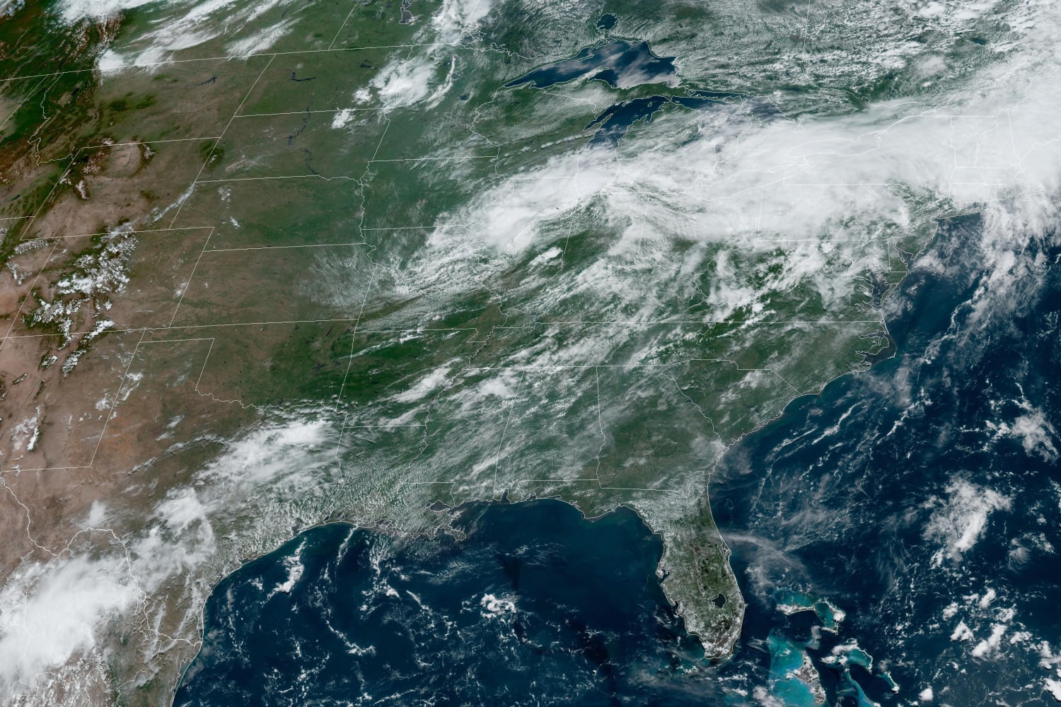
As the extended 4th of July holiday weekend looms on the horizon severe storms are set to take aim across a wide swath from New York and Pennsylvania stretching down to Arkansas.
On Sunday, 51 million people in this area are at risk for severe thunderstorms from afternoon through evening. The risk area includes Nashville, Louisville, Philadelphia, Memphis, Baltimore, Charlotte and Washington D.C.
The strongest storms will target Kentucky and Tennessee, potentially bringing damaging wind gusts over 65 mph and ping pong size hail — although a tornado or two can’t be ruled out.
Scattered showers will persist throughout Sunday, with the strongest storms set to initiate in Kentucky and Tennessee after 2 p.m. CT. This threat will persist into the evening and overnight hours as the line of storms shifts into the Appalachians.
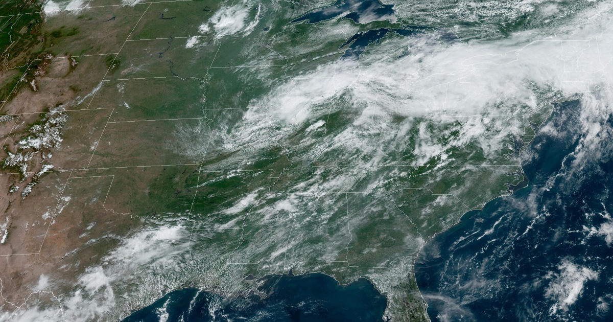
On Monday, this storm system will target the Carolinas and Mid-Atlantic region, targeting 29 million in Philadelphia, Baltimore, Charlotte, and Raleigh. Damaging wind, large hail, and a tornado or two will be possible.
As the July 4th holiday approaches, the Northeast and the Southeast can expect scattered showers and temperatures in the 80s and 90s respectively.
The Midwest and the Rockies regions may experience rainfall, while the West will have sunny and dry climbs with temperatures ranging from 70 to the 100s.
Heat alerts from coast-to-coast
Around 63 million remain under heat alerts Sunday afternoon from coast-to-coast, including Raleigh, Charlotte, Atlanta, Tallahassee, Montgomery, New Orleans, Corpus Christi, Phoenix, Tucson, Bakersfield, Sacramento, and Portland.
More than 30 records will be threatened Sunday across eight different states, including the cities of Tucson, Tampa, Phoenix, Fresno, Palm Springs, Jacksonville, New Orleans, and Asheville.
On Saturday in Tallahassee temperatures reached a high of 100 degrees, tying a record high set in 1990, according to the National Weather Service. In New Orleans, a heat alert will be in effect on Monday.
“Heat indices up to 110 are expected,” the service said in a tweet. “Practice heat safety and take care of yourself!”
Like on Saturday, highs in the Southeast will soar into the 90s, with heat index values close to 115 degrees. Luckily, a passing cold front will help temperatures drop closer to seasonal highs for the remainder of the holiday week.
In the West, heat alerts continue through Tuesday as afternoon highs range from 100 to 120 degrees. Temperatures will drop to at or below average temperatures across California and Arizona for the second half of the week.
Source: | This article originally belongs to Nbcnews.com


